Tranqueras night lights from space
Night Light of Tranqueras (Rivera) from space (Uruguay) Src. Average luminocity for 10x10km area is 5.533% and for 50x50km: 0.3954%.
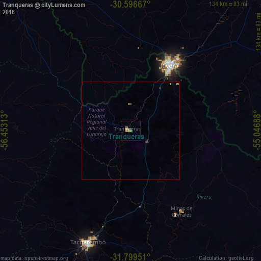
Analysis of Tranqueras night lights 2016
Square area 10x10 km:
 0.55%
0.55%90-99
0.18%80-89
0%70-79
1.28%60-69
2.38%50-59
1.47%40-49
1.28%30-39
0.18%20-29
0.18%10-19
0.55%0-9
91.94%Square area 50x50 km:
0.02%90-99
0.01%80-89
0.03%70-79
0.07%60-69
0.12%50-59
0.1%40-49
0.09%30-39
0.09%20-29
0.03%10-19
0.02%0-9
99.42%Clear (daylight) street map image can be seen on geolist.org.
Map coordinates:
30° 35' 48" South, 56° 27' 11.3" West
31° 12' 0" South, 55° 45' 0" West
31° 47' 58.2" South, 55° 2' 48.8" West
Some cities around Tranqueras sort by population:
• Bagé, BR
156.8 km =97.4 mi,  95°
95°
• Santana do Livramento, BR
40.1 km =24.9 mi,  31°
31°
• Rivera
37.9 km =23.5 mi, 30°
• Tacuarembó
61.5 km =38.2 mi,  200°
200°
• Artigas
112.2 km =69.7 mi,  322°
322°
• Dom Pedrito, BR
105.3 km =65.4 mi,  76°
76°
• Rosário do Sul, BR
131.7 km =81.8 mi,  37°
37°
• Quaraí, BR
112.5 km =69.9 mi, 323°
3439787 (p: 7,474)
Sources (retrieved 2019-11-25):
» Earth at Night: Flat Maps 2012, 2016