Artigas night lights from space
Night Light of Artigas from space (Uruguay) Src. Average luminocity for 10x10km area is 31.2326% and for 50x50km: 1.447%.

Analysis of Artigas night lights 2016
Square area 10x10 km:
 2.01%
2.01%90-99
6.59%80-89
6.78%70-79
4.95%60-69
6.78%50-59
0.92%40-49
2.75%30-39
1.47%20-29
2.2%10-19
34.62%0-9
30.95%Square area 50x50 km:
0.08%90-99
0.27%80-89
0.27%70-79
0.2%60-69
0.3%50-59
0.04%40-49
0.11%30-39
0.08%20-29
0.1%10-19
1.48%0-9
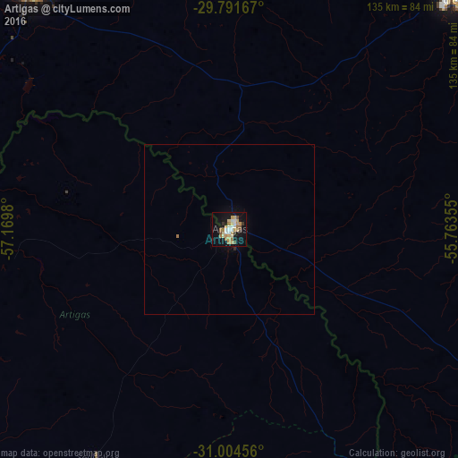
97.06%Clear (daylight) street map image can be seen on geolist.org.
Map coordinates:
29° 47' 30" South, 57° 10' 11.3" West
30° 24' 0" South, 56° 28' 0" West
31° 0' 16.4" South, 55° 45' 48.8" West
Some cities around Artigas sort by population:
• Uruguaiana, BR
93.4 km =58 mi,  320°
320°
• Santana do Livramento, BR
104.7 km =65.1 mi,  121°
121°
• Alegrete, BR
94.4 km =58.7 mi,  43°
43°
• Rivera
104.1 km =64.7 mi, 122°
• Paso de los Libres, AR
97 km =60.3 mi, 321°
• Quaraí, BR
2 km =1.2 mi,  46°
46°
• Bella Unión
109.8 km =68.2 mi,  278°
278°
• Tranqueras
112.2 km =69.7 mi,  142°
142°
3443758 (p: 41,909)
Sources (retrieved 2019-11-25):
» Earth at Night: Flat Maps 2012, 2016