Progreso night lights from space
Night Light of Progreso (Canelones) from space (Uruguay) Src. Average luminocity for 10x10km area is 36.5647% and for 50x50km: 25.5598%.
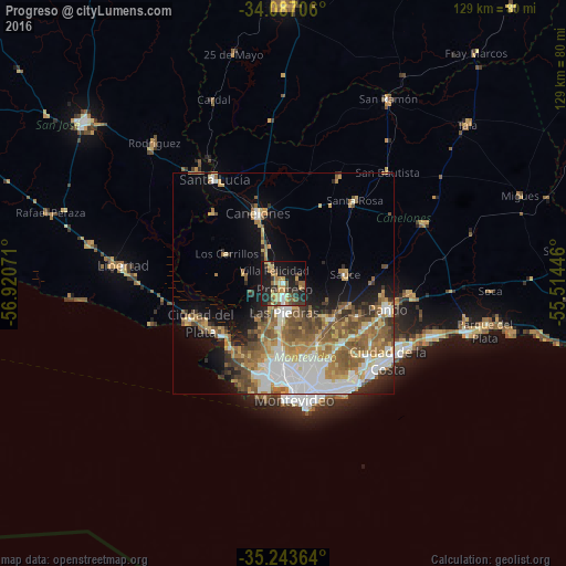
Analysis of Progreso night lights 2016
Square area 10x10 km:
 1.05%
1.05%90-99
2.97%80-89
6.82%70-79
9.44%60-69
5.59%50-59
3.32%40-49
8.22%30-39
8.57%20-29
13.46%10-19
29.72%0-9
10.84%Square area 50x50 km:
4.78%90-99
4.31%80-89
3.04%70-79
3.82%60-69
4.64%50-59
5.25%40-49
3.68%30-39
2.41%20-29
3.3%10-19
7.98%0-9
56.79%Clear (daylight) street map image can be seen on geolist.org.
Map coordinates:
34° 5' 13.4" South, 56° 55' 14.6" West
34° 40' 2.5" South, 56° 13' 3.3" West
35° 14' 37.1" South, 55° 30' 52.1" West
Some cities around Progreso sort by population:
• Las Piedras
7 km =4.3 mi,  181°
181°
• Barros Blancos
21.8 km =13.5 mi,  115°
115°
• La Paz
10.4 km =6.5 mi, 184°
• Canelones
17 km =10.6 mi,  341°
341°
• Delta del Tigre
17.3 km =10.7 mi,  231°
231°
• Colonia Nicolich
24.1 km =15 mi,  132°
132°
• Joaquín Suárez
18.3 km =11.4 mi,  114°
114°
• Sauce
14.1 km =8.8 mi,  83°
83°
3440963 (p: 15,973)
Sources (retrieved 2019-11-25):
» Earth at Night: Flat Maps 2012, 2016