Fray Bentos night lights from space
Night Light of Fray Bentos (Río Negro) from space (Uruguay) Src. Average luminocity for 10x10km area is 17.1465% and for 50x50km: 3.8416%.
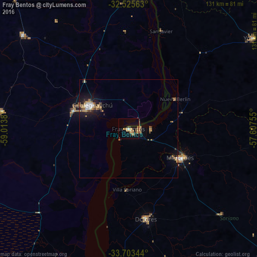
Analysis of Fray Bentos night lights 2016
Square area 10x10 km:
 0%
0%90-99
0.73%80-89
3.3%70-79
5.49%60-69
3.66%50-59
2.2%40-49
1.65%30-39
1.83%20-29
0.55%10-19
13.92%0-9
66.67%Square area 50x50 km:
0.28%90-99
0.32%80-89
0.51%70-79
0.85%60-69
0.57%50-59
0.71%40-49
0.32%30-39
0.57%20-29
0.58%10-19
3.06%0-9
92.23%Clear (daylight) street map image can be seen on geolist.org.
Map coordinates:
32° 31' 32.3" South, 59° 0' 49.7" West
33° 6' 59.4" South, 58° 18' 38.4" West
33° 42' 12.4" South, 57° 36' 27.2" West
Some cities around Fray Bentos sort by population:
• Gualeguaychú, AR
22.6 km =14 mi,  301°
301°
• Concepción del Uruguay, AR
70.6 km =43.9 mi,  5°
5°
• Mercedes
30.1 km =18.7 mi,  120°
120°
• Young
79 km =49.1 mi,  53°
53°
• Dolores
46.8 km =29.1 mi,  169°
169°
• Nueva Palmira
84.3 km =52.4 mi,  186°
186°
• Urdinarrain, AR
72.5 km =45 mi,  311°
311°
• Larroque, AR
65 km =40.4 mi,  277°
277°
3442568 (p: 23,279)
Sources (retrieved 2019-11-25):
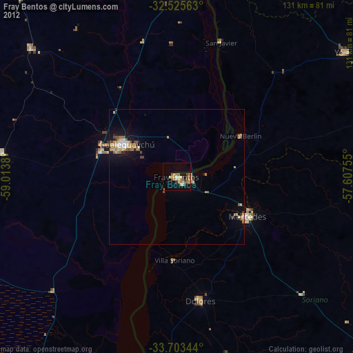
» Earth at Night: Flat Maps 2012, 2016