Gualeguaychú night lights from space
Night Light of Gualeguaychú (Entre Rios) from space (Argentina) Src. Average luminocity for 10x10km area is 42.2949% and for 50x50km: 3.7309%.
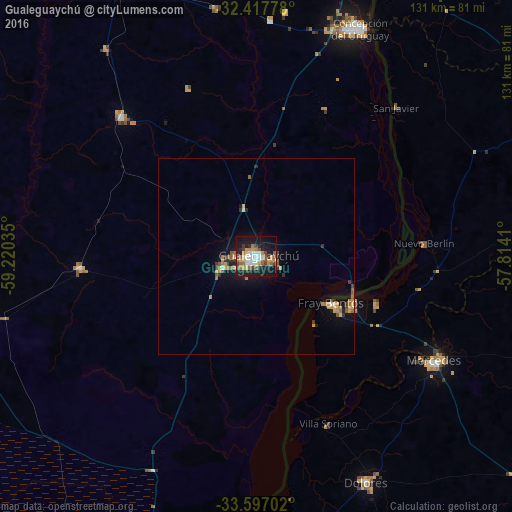
Analysis of Gualeguaychú night lights 2016
Square area 10x10 km:
 6.78%
6.78%90-99
7.33%80-89
4.21%70-79
7.69%60-69
6.23%50-59
8.06%40-49
3.66%30-39
4.21%20-29
9.34%10-19
36.45%0-9
6.04%Square area 50x50 km:
0.28%90-99
0.34%80-89
0.43%70-79
0.77%60-69
0.67%50-59
0.67%40-49
0.28%30-39
0.53%20-29
0.64%10-19
3.42%0-9
91.96%Clear (daylight) street map image can be seen on geolist.org.
Map coordinates:
32° 25' 4" South, 59° 13' 13.3" West
33° 0' 33.7" South, 58° 31' 2" West
33° 35' 49.3" South, 57° 48' 50.8" West
Some cities around Gualeguaychú sort by population:
• Paysandú, UY
87.1 km =54.1 mi,  27°
27°
• Concepción del Uruguay
64.1 km =39.8 mi,  24°
24°
• Mercedes, UY
52.8 km =32.8 mi,  120°
120°
• Fray Bentos, UY
22.6 km =14 mi, 121°
• Young, UY
90.1 km =56 mi,  67°
67°
• Dolores, UY
64.3 km =40 mi,  154°
154°
• Urdinarrain
50.3 km =31.3 mi,  315°
315°
• Larroque
45.2 km =28.1 mi,  266°
266°
3433658 (p: 78,676)
Sources (retrieved 2019-11-25):
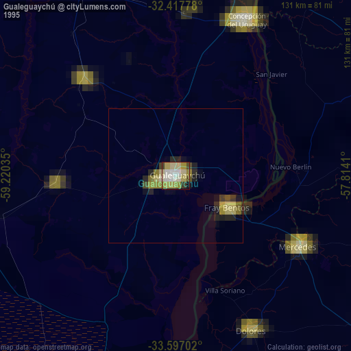
» NASA, Earths city lights 1995
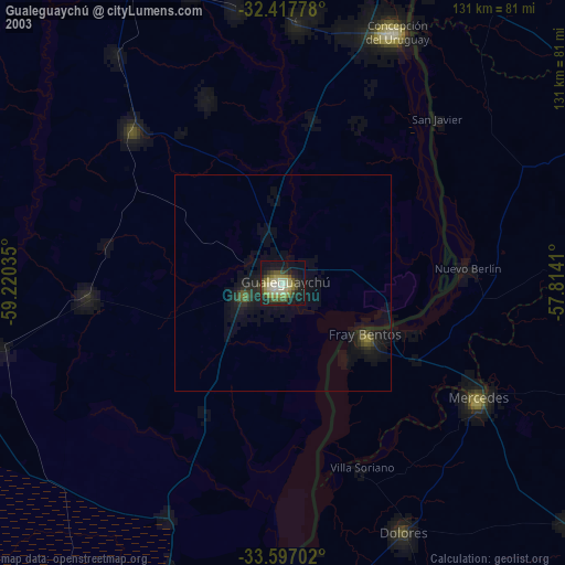
» NASA city lights 2003
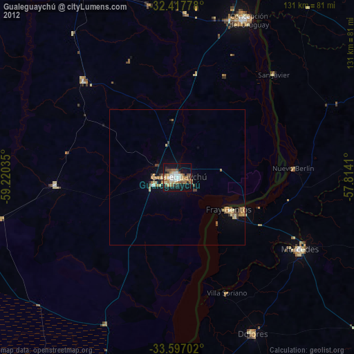
» Earth at Night: Flat Maps 2012, 2016