Carmelo night lights from space
Night Light of Carmelo (Colonia) from space (Uruguay) Src. Average luminocity for 10x10km area is 11.1416% and for 50x50km: 1.5345%.
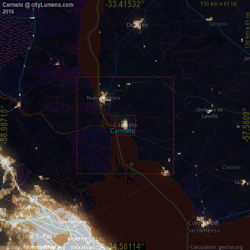
Analysis of Carmelo night lights 2016
Square area 10x10 km:
 0.87%
0.87%90-99
0.52%80-89
1.75%70-79
3.5%60-69
1.05%50-59
2.45%40-49
1.05%30-39
2.1%20-29
0.7%10-19
0.17%0-9
85.84%Square area 50x50 km:
0.1%90-99
0.13%80-89
0.13%70-79
0.34%60-69
0.29%50-59
0.36%40-49
0.19%30-39
0.21%20-29
0.15%10-19
0.23%0-9
97.88%Clear (daylight) street map image can be seen on geolist.org.
Map coordinates:
33° 24' 55.2" South, 58° 59' 13.7" West
34° 0' 0.8" South, 58° 17' 2.5" West
34° 34' 52.1" South, 57° 34' 51.2" West
Some cities around Carmelo sort by population:
• Belgrano, AR
64.6 km =40.1 mi,  194°
194°
• Campana, AR
64.8 km =40.3 mi,  253°
253°
• Don Torcuato, AR
63.4 km =39.4 mi,  209°
209°
• San Isidro, AR
57 km =35.4 mi,  203°
203°
• General Pacheco, AR
60.2 km =37.4 mi, 213°
• Tigre, AR
54.6 km =33.9 mi, 209°
• Dolores
52.6 km =32.7 mi,  6°
6°
• Nueva Palmira
18.6 km =11.6 mi,  320°
320°
3443341 (p: 16,921)
Sources (retrieved 2019-11-25):
» Earth at Night: Flat Maps 2012, 2016