Larroque night lights from space
Night Light of Larroque (Entre Rios) from space (Argentina) Src. Average luminocity for 10x10km area is 6.5659% and for 50x50km: 0.3984%.
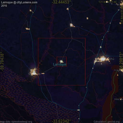
Analysis of Larroque night lights 2016
Square area 10x10 km:
 0.37%
0.37%90-99
0.37%80-89
0.73%70-79
1.47%60-69
2.56%50-59
1.83%40-49
0.73%30-39
0%20-29
0%10-19
0%0-9
91.94%Square area 50x50 km:
0.01%90-99
0.01%80-89
0.03%70-79
0.06%60-69
0.16%50-59
0.13%40-49
0.03%30-39
0%20-29
0%10-19
0.03%0-9
99.53%Clear (daylight) street map image can be seen on geolist.org.
Map coordinates:
32° 26' 40.3" South, 59° 42' 15.8" West
33° 2' 9.4" South, 59° 0' 4.5" West
33° 37' 24.3" South, 58° 17' 53.3" West
Some cities around Larroque sort by population:
• Gualeguaychú
45.2 km =28.1 mi,  86°
86°
• Concepción del Uruguay
94.5 km =58.7 mi,  49°
49°
• Mercedes, UY
93.5 km =58.1 mi,  104°
104°
• Gualeguay
31 km =19.3 mi,  247°
247°
• Fray Bentos, UY
65 km =40.4 mi, 97°
• Dolores, UY
91.3 km =56.7 mi,  127°
127°
• Rosario del Tala
82.6 km =51.3 mi,  350°
350°
• Urdinarrain
40.2 km =25 mi,  14°
14°
3431916 (p: 6,200)
Sources (retrieved 2019-11-25):
» Earth at Night: Flat Maps 2012, 2016