Lascano night lights from space
Night Light of Lascano (Rocha) from space (Uruguay) Src. Average luminocity for 10x10km area is 6.5147% and for 50x50km: 0.259%.
Analysis of Lascano night lights 2016
Square area 10x10 km:
 0.18%
0.18%90-99
0.55%80-89
2.56%70-79
2.01%60-69
0.55%50-59
0.73%40-49
0%30-39
0.73%20-29
0%10-19
0%0-9
92.67%Square area 50x50 km:
0.01%90-99
0.02%80-89
0.1%70-79
0.08%60-69
0.02%50-59
0.03%40-49
0%30-39
0.03%20-29
0%10-19
0%0-9
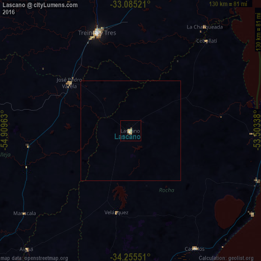
99.71%Clear (daylight) street map image can be seen on geolist.org.
Map coordinates:
33° 5' 6.8" South, 54° 54' 34.7" West
33° 40' 20.5" South, 54° 12' 23.4" West
34° 15' 19.8" South, 53° 30' 12.2" West
Some cities around Lascano sort by population:
• Minas
123.1 km =76.5 mi,  230°
230°
• Santa Vitória do Palmar, BR
79.5 km =49.4 mi,  77°
77°
• Treinta y Tres
51.5 km =32 mi,  341°
341°
• Rocha
90.9 km =56.5 mi,  187°
187°
• Chui
69.2 km =43 mi,  92°
92°
• Castillos
66.7 km =41.4 mi,  151°
151°
• Chuí, BR
69.4 km =43.1 mi, 91°
• José Pedro Varela
39 km =24.2 mi,  308°
308°
3442071 (p: 6,976)
Sources (retrieved 2019-11-25):
» Earth at Night: Flat Maps 2012, 2016