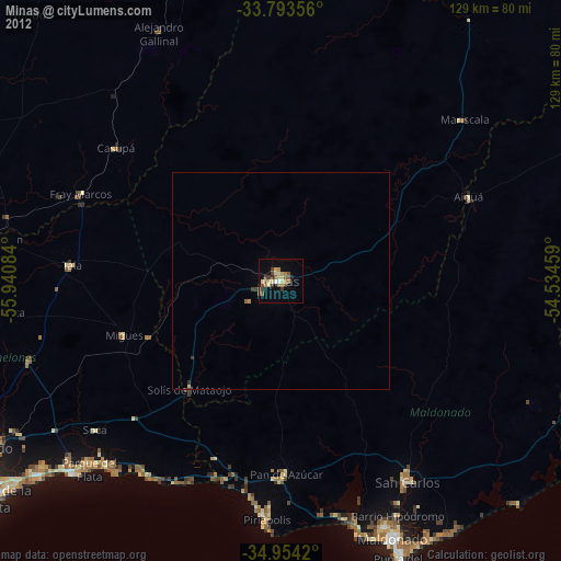
Minas night lights from space
Night Light of Minas (Lavalleja) from space (Uruguay) Src. Average luminocity for 10x10km area is 25.4341% and for 50x50km: 1.2711%.
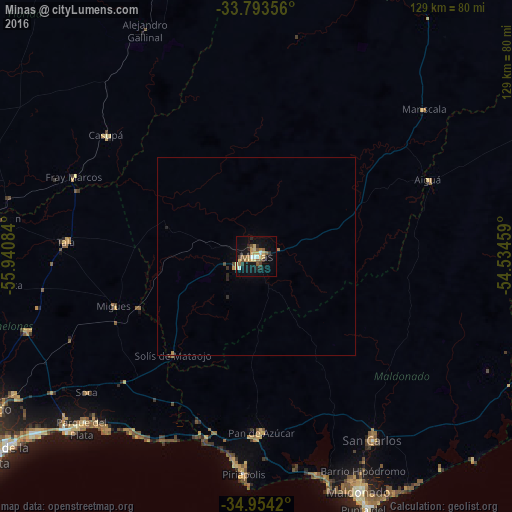
Analysis of Minas night lights 2016
Square area 10x10 km:
 1.83%
1.83%90-99
1.83%80-89
5.31%70-79
5.13%60-69
2.01%50-59
6.41%40-49
2.75%30-39
1.83%20-29
4.95%10-19
22.53%0-9
45.42%Square area 50x50 km:
0.07%90-99
0.07%80-89
0.22%70-79
0.3%60-69
0.08%50-59
0.25%40-49
0.16%30-39
0.11%20-29
0.3%10-19
0.88%0-9
97.55%Clear (daylight) street map image can be seen on geolist.org.
Map coordinates:
33° 47' 36.8" South, 55° 56' 27" West
34° 22' 33.2" South, 55° 14' 15.8" West
34° 57' 15.1" South, 54° 32' 4.5" West
Some cities around Minas sort by population:
• Maldonado
63.9 km =39.7 mi,  155°
155°
• Barros Blancos
81.6 km =50.7 mi,  239°
239°
• San Carlos
54.7 km =34 mi,  147°
147°
• Pando
76.1 km =47.3 mi, 240°
• Piriápolis
54.3 km =33.7 mi,  183°
183°
• Punta del Este
69.4 km =43.1 mi, 156°
• Pan de Azúcar
44.8 km =27.8 mi, 179°
• San Ramón
66.6 km =41.4 mi,  278°
278°
3441665 (p: 38,025)
Sources (retrieved 2019-11-25):
» Earth at Night: Flat Maps 2012, 2016