Chuí night lights from space
Night Light of Chuí (Rio Grande do Sul) from space (Brazil) Src. Average luminocity for 10x10km area is 11.9963% and for 50x50km: 1.5195%.
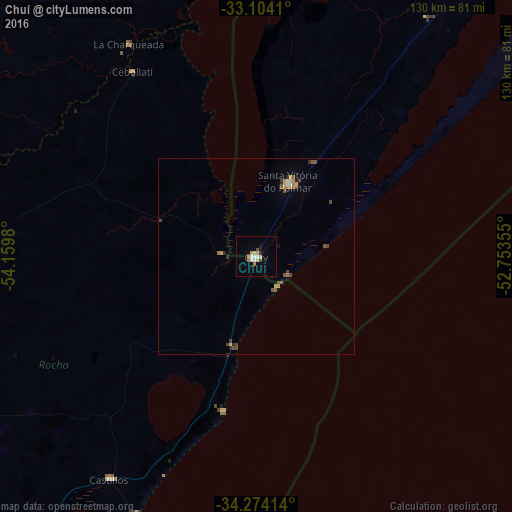
Analysis of Chuí night lights 2016
Square area 10x10 km:
 2.01%
2.01%90-99
1.65%80-89
2.56%70-79
1.65%60-69
1.65%50-59
0.37%40-49
0.37%30-39
0%20-29
1.47%10-19
1.47%0-9
86.81%Square area 50x50 km:
0.12%90-99
0.12%80-89
0.21%70-79
0.29%60-69
0.15%50-59
0.34%40-49
0.34%30-39
0.15%20-29
0.22%10-19
0.14%0-9
97.93%Clear (daylight) street map image can be seen on geolist.org.
Map coordinates:
33° 6' 14.8" South, 54° 9' 35.3" West
33° 41' 28" South, 53° 27' 24" West
34° 16' 26.9" South, 52° 45' 12.8" West
Some cities around Chuí sort by population:
• Jaguarão
125.3 km =77.9 mi,  3°
3°
• Santa Vitória do Palmar
20.8 km =12.9 mi,  23°
23°
• Treinta y Tres, UY
99.9 km =62.1 mi,  300°
300°
• Rocha, UY
119.5 km =74.3 mi,  222°
222°
• Río Branco, UY
121.7 km =75.6 mi, 3°
• Castillos, UY
67.6 km =42 mi,  213°
213°
• Lascano, UY
69.4 km =43.1 mi,  271°
271°
• José Pedro Varela, UY
103.4 km =64.2 mi,  284°
284°
3466187 (p: 6,605)
Sources (retrieved 2019-11-25):
» Earth at Night: Flat Maps 2012, 2016