Castillos night lights from space
Night Light of Castillos (Rocha) from space (Uruguay) Src. Average luminocity for 10x10km area is 4.2582% and for 50x50km: 0.2488%.
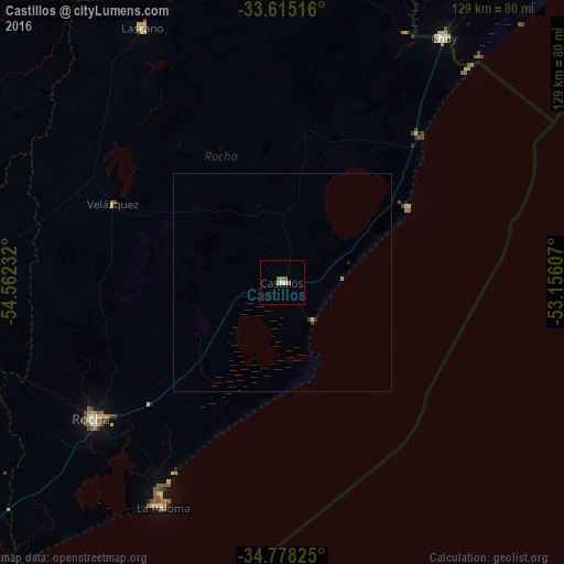
Analysis of Castillos night lights 2016
Square area 10x10 km:
 0.37%
0.37%90-99
0.37%80-89
0.73%70-79
0.73%60-69
0.73%50-59
2.2%40-49
0%30-39
0%20-29
0%10-19
0%0-9
94.87%Square area 50x50 km:
0.01%90-99
0.01%80-89
0.06%70-79
0.03%60-69
0.06%50-59
0.09%40-49
0%30-39
0.06%20-29
0.05%10-19
0.01%0-9
99.63%Clear (daylight) street map image can be seen on geolist.org.
Map coordinates:
33° 36' 54.6" South, 54° 33' 44.4" West
34° 11' 55.4" South, 53° 51' 33.1" West
34° 46' 41.7" South, 53° 9' 21.9" West
Some cities around Castillos sort by population:
• Santa Vitória do Palmar, BR
88.1 km =54.7 mi,  30°
30°
• Treinta y Tres
117.8 km =73.2 mi,  335°
335°
• Rocha
53.8 km =33.4 mi,  233°
233°
• San Carlos
117.3 km =72.9 mi,  235°
235°
• Chui
66.8 km =41.5 mi, 33°
• Lascano
66.7 km =41.4 mi,  331°
331°
• Chuí, BR
67.6 km =42 mi, 33°
• José Pedro Varela
103.7 km =64.4 mi,  322°
322°
3443289 (p: 7,686)
Sources (retrieved 2019-11-25):
» Earth at Night: Flat Maps 2012, 2016