Santa Vitória do Palmar night lights from space
Night Light of Santa Vitória do Palmar (Rio Grande do Sul) from space (Brazil) Src. Average luminocity for 10x10km area is 13.467% and for 50x50km: 1.2667%.
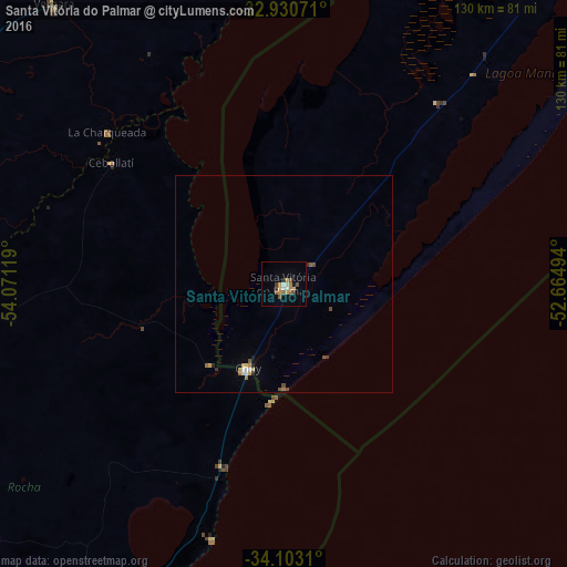
Analysis of Santa Vitória do Palmar night lights 2016
Square area 10x10 km:
 1.1%
1.1%90-99
1.28%80-89
1.65%70-79
3.85%60-69
0.92%50-59
3.48%40-49
1.47%30-39
0.92%20-29
1.47%10-19
1.47%0-9
82.42%Square area 50x50 km:
0.12%90-99
0.12%80-89
0.17%70-79
0.24%60-69
0.14%50-59
0.23%40-49
0.21%30-39
0.11%20-29
0.16%10-19
0.14%0-9
98.36%Clear (daylight) street map image can be seen on geolist.org.
Map coordinates:
32° 55' 50.6" South, 54° 4' 16.3" West
33° 31' 8" South, 53° 22' 5" West
34° 6' 11.2" South, 52° 39' 53.8" West
Some cities around Santa Vitória do Palmar sort by population:
• Jaguarão
105.9 km =65.8 mi,  359°
359°
• Treinta y Tres, UY
99.5 km =61.8 mi,  288°
288°
• Río Branco, UY
102.4 km =63.6 mi, 359°
• Chui, UY
21.6 km =13.4 mi,  202°
202°
• Castillos, UY
88.1 km =54.7 mi,  210°
210°
• Lascano, UY
79.5 km =49.4 mi,  257°
257°
• Chuí
20.8 km =12.9 mi, 203°
• José Pedro Varela, UY
108.5 km =67.4 mi,  273°
273°
3449747 (p: 27,775)
Sources (retrieved 2019-11-25):
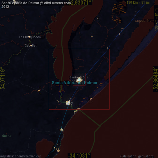
» Earth at Night: Flat Maps 2012, 2016