Zionsville night lights from space
Night Light of Zionsville (Indiana) from space (United States) Src. Average luminocity for 10x10km area is 71.9779% and for 50x50km: 48.3128%.
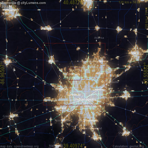
Analysis of Zionsville night lights 2016
Square area 10x10 km:
 11.56%
90-99
14.46%80-89
11.39%70-79
15.48%60-69
18.71%50-59
16.16%40-49
5.27%30-39
3.57%20-29
3.23%10-19
0.17%0-9
0%Square area 50x50 km:
13.62%90-99
11.45%80-89
6.67%70-79
9.19%60-69
6.21%50-59
4.12%40-49
2.55%30-39
2.74%20-29
3.76%10-19
8.03%0-9
31.65%Clear (daylight) street map image can be seen on geolist.org.
Map coordinates:
40° 29' 15.9" North, 86° 57' 54.3" West
39° 57' 3.1" North, 86° 15' 43" West
39° 24' 35.1" North, 85° 33' 31.8" West
Some cities around Zionsville sort by population:
• Carmel
12.6 km =7.8 mi,  75°
75°
• Westfield
15.4 km =9.6 mi,  48°
48°
• Brownsburg
16.6 km =10.3 mi,  224°
224°
• Fairfield Heights
17 km =10.6 mi, 217°
• Broad Ripple
13.9 km =8.6 mi,  132°
132°
• Lebanon
20.7 km =12.9 mi,  301°
301°
• Speedway
16.5 km =10.3 mi,  181°
181°
• Whitestown
8.8 km =5.5 mi,  305°
305°
4267336 (p: 26,296)
Sources (retrieved 2019-11-25):
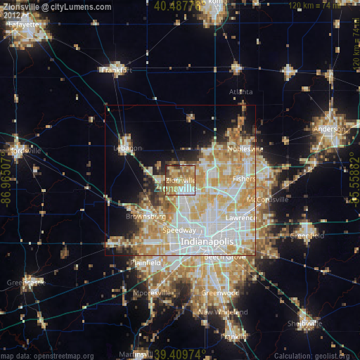
» Earth at Night: Flat Maps 2012, 2016