Fairfield Heights night lights from space
Night Light of Fairfield Heights (Indiana) from space (United States) Src. Average luminocity for 10x10km area is 67.6497% and for 50x50km: 45.5278%.
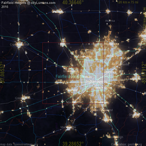
Analysis of Fairfield Heights night lights 2016
Square area 10x10 km:
 7.82%
7.82%90-99
8.16%80-89
12.41%70-79
16.67%60-69
21.77%50-59
13.95%40-49
8.84%30-39
6.12%20-29
4.25%10-19
0%0-9
0%Square area 50x50 km:
12.34%90-99
11.26%80-89
6.55%70-79
7.83%60-69
5.42%50-59
4.24%40-49
3%30-39
3.09%20-29
4.44%10-19
7.14%0-9
34.69%Clear (daylight) street map image can be seen on geolist.org.
Map coordinates:
40° 21' 59.3" North, 87° 5' 7.3" West
39° 49' 43" North, 86° 22' 56.1" West
39° 17' 11.5" North, 85° 40' 44.8" West
Some cities around Fairfield Heights sort by population:
• Indianapolis
20.3 km =12.6 mi,  109°
109°
• Plainfield
13.9 km =8.6 mi,  186°
186°
• Zionsville
17 km =10.6 mi,  37°
37°
• Brownsburg
2.1 km =1.3 mi,  321°
321°
• Avon
7.5 km =4.7 mi, 191°
• Speedway
10.3 km =6.4 mi, 106°
• Danville
14.5 km =9 mi,  238°
238°
• Whitestown
19 km =11.8 mi,  9°
9°
8347326 (p: 21,285)
Sources (retrieved 2019-11-25):
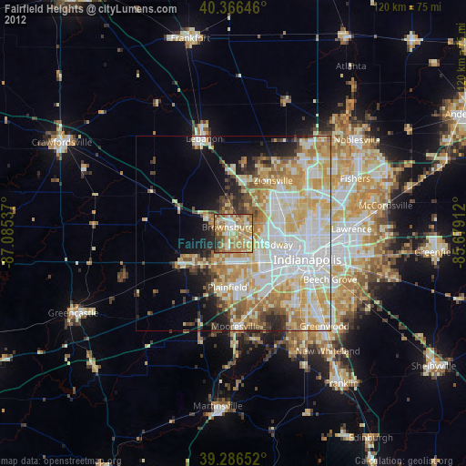
» Earth at Night: Flat Maps 2012, 2016