Youngstown night lights from space
Night Light of Youngstown (Ohio) from space (United States) Src. Average luminocity for 10x10km area is 84.8945% and for 50x50km: 32.261%.
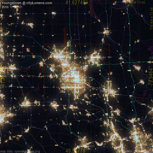
Analysis of Youngstown night lights 2016
Square area 10x10 km:
 26.46%
90-99
25.49%80-89
11.69%70-79
17.05%60-69
9.74%50-59
5.36%40-49
3.08%30-39
1.14%20-29
0%10-19
0%0-9
0%Square area 50x50 km:
4.01%90-99
5.68%80-89
3.87%70-79
4.35%60-69
5.56%50-59
5.53%40-49
4.75%30-39
5.13%20-29
9.61%10-19
15.7%0-9
35.8%Clear (daylight) street map image can be seen on geolist.org.
Map coordinates:
41° 37' 39" North, 81° 21' 9.5" West
41° 5' 59.2" North, 80° 38' 58.3" West
40° 34' 4" North, 79° 56' 47" West
Some cities around Youngstown sort by population:
• Boardman
8.5 km =5.3 mi,  187°
187°
• Austintown
9.6 km =6 mi,  271°
271°
• Niles
13.4 km =8.3 mi,  313°
313°
• Struthers
6.3 km =3.9 mi,  146°
146°
• Girard
7.4 km =4.6 mi,  324°
324°
• Campbell
4.8 km =3 mi,  119°
119°
• Hubbard
9.2 km =5.7 mi,  46°
46°
• Canfield
12.5 km =7.8 mi,  228°
228°
5177568 (p: 64,628)
Sources (retrieved 2019-11-25):
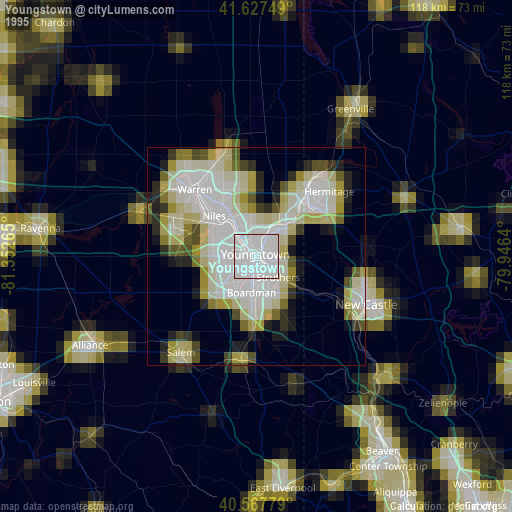
» NASA, Earths city lights 1995
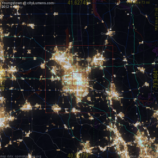
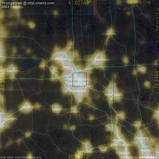
» NASA city lights 2003
» Earth at Night: Flat Maps 2012, 2016