Austintown night lights from space
Night Light of Austintown (Ohio) from space (United States) Src. Average luminocity for 10x10km area is 63.6607% and for 50x50km: 30.486%.
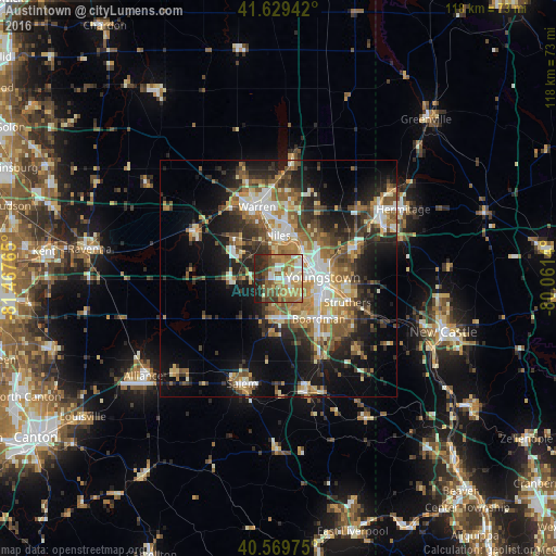
Analysis of Austintown night lights 2016
Square area 10x10 km:
 9.25%
9.25%90-99
13.31%80-89
7.79%70-79
12.99%60-69
14.12%50-59
11.2%40-49
8.6%30-39
7.47%20-29
12.66%10-19
2.6%0-9
0%Square area 50x50 km:
3.85%90-99
5.34%80-89
3.63%70-79
4.06%60-69
5.39%50-59
5.49%40-49
4.21%30-39
4.89%20-29
9.03%10-19
13.85%0-9
40.25%Clear (daylight) street map image can be seen on geolist.org.
Map coordinates:
41° 37' 45.9" North, 81° 28' 3.5" West
41° 6' 6.2" North, 80° 45' 52.3" West
40° 34' 11.1" North, 80° 3' 41" West
Some cities around Austintown sort by population:
• Youngstown
9.6 km =6 mi,  91°
91°
• Warren
15.8 km =9.8 mi,  343°
343°
• Boardman
12.1 km =7.5 mi,  135°
135°
• Niles
9 km =5.6 mi,  359°
359°
• Struthers
14.2 km =8.8 mi,  112°
112°
• Girard
7.8 km =4.8 mi,  42°
42°
• Campbell
14.1 km =8.8 mi,  100°
100°
• Canfield
8.5 km =5.3 mi,  177°
177°
5146256 (p: 29,677)
Sources (retrieved 2019-11-25):
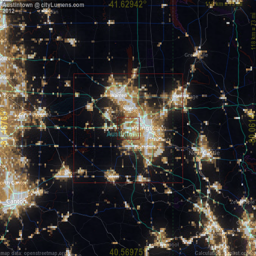
» Earth at Night: Flat Maps 2012, 2016