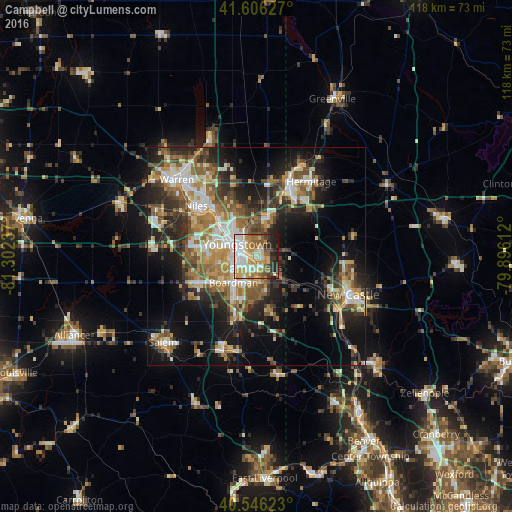
Campbell night lights from space
Night Light of Campbell (Ohio) from space (United States) Src. Average luminocity for 10x10km area is 69.2776% and for 50x50km: 33.2433%.
Analysis of Campbell night lights 2016
Square area 10x10 km:
 13.31%
90-99
15.58%80-89
15.91%70-79
12.5%60-69
8.77%50-59
9.58%40-49
5.03%30-39
6.82%20-29
9.25%10-19
3.25%0-9
0%Square area 50x50 km:
4.15%90-99
5.97%80-89
4.13%70-79
4.56%60-69
5.67%50-59
5.65%40-49
4.87%30-39
5.18%20-29
9.88%10-19
15.21%0-9
34.71%Clear (daylight) street map image can be seen on geolist.org.
Map coordinates:
41° 36' 22.6" North, 81° 18' 8.5" West
41° 4' 42.2" North, 80° 35' 57.3" West
40° 32' 46.4" North, 79° 53' 46" West
Some cities around Campbell sort by population:
• Youngstown
4.8 km =3 mi,  299°
299°
• Boardman
8 km =5 mi,  221°
221°
• Austintown
14.1 km =8.8 mi,  280°
280°
• Niles
18.1 km =11.2 mi,  309°
309°
• Struthers
3 km =1.9 mi,  194°
194°
• Girard
12 km =7.5 mi, 314°
• Hubbard
9 km =5.6 mi,  16°
16°
• Canfield
14.8 km =9.2 mi,  246°
246°
5149149 (p: 7,982)
Sources (retrieved 2019-11-25):
» Earth at Night: Flat Maps 2012, 2016