Yarmouth night lights from space
Night Light of Yarmouth (Massachusetts) from space (United States) Src. Average luminocity for 10x10km area is 28.3149% and for 50x50km: 6.3713%.
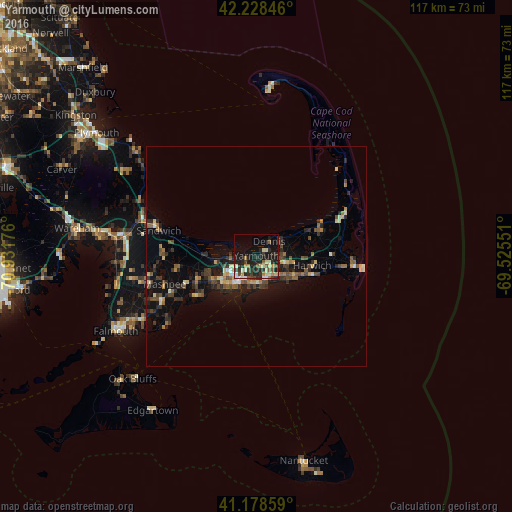
Analysis of Yarmouth night lights 2016
Square area 10x10 km:
 1.46%
1.46%90-99
5.84%80-89
4.38%70-79
2.11%60-69
2.76%50-59
4.71%40-49
2.44%30-39
6.33%20-29
15.42%10-19
25.81%0-9
28.73%Square area 50x50 km:
0.22%90-99
0.68%80-89
0.78%70-79
0.69%60-69
0.76%50-59
0.98%40-49
1.4%30-39
1.14%20-29
2.42%10-19
5.31%0-9
85.63%Clear (daylight) street map image can be seen on geolist.org.
Map coordinates:
42° 13' 42.5" North, 70° 55' 54.3" West
41° 42' 20.4" North, 70° 13' 43.1" West
41° 10' 42.9" North, 69° 31' 31.8" West
Some cities around Yarmouth sort by population:
• Barnstable
5.9 km =3.7 mi,  263°
263°
• Mashpee
21.9 km =13.6 mi,  253°
253°
• Hyannis
7.4 km =4.6 mi,  217°
217°
• Harwich
12.9 km =8 mi,  99°
99°
• South Yarmouth
5.7 km =3.5 mi,  139°
139°
• Centerville
11.8 km =7.3 mi,  237°
237°
• Marstons Mills
16.5 km =10.3 mi, 250°
• West Yarmouth
6.3 km =3.9 mi,  189°
189°
4956335 (p: 25,243)
Sources (retrieved 2019-11-25):
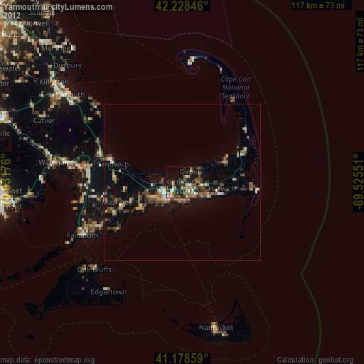
» Earth at Night: Flat Maps 2012, 2016