Yardville night lights from space
Night Light of Yardville (New Jersey) from space (United States) Src. Average luminocity for 10x10km area is 71.7435% and for 50x50km: 48.6631%.
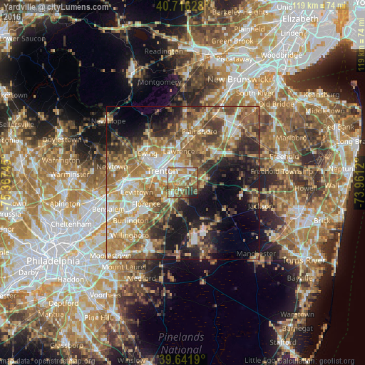
Analysis of Yardville night lights 2016
Square area 10x10 km:
 13.64%
90-99
13.8%80-89
11.69%70-79
16.4%60-69
14.45%50-59
15.1%40-49
6.17%30-39
3.57%20-29
3.41%10-19
1.79%0-9
0%Square area 50x50 km:
6.89%90-99
8.08%80-89
7.66%70-79
8.94%60-69
9.96%50-59
9.17%40-49
6.79%30-39
6.53%20-29
7.34%10-19
12.55%0-9
16.09%Clear (daylight) street map image can be seen on geolist.org.
Map coordinates:
40° 42' 58.6" North, 75° 22' 2.8" West
40° 10' 52.4" North, 74° 39' 51.6" West
39° 38' 30.8" North, 73° 57' 40.3" West
Some cities around Yardville sort by population:
• Trenton
7.8 km =4.8 mi,  300°
300°
• Levittown
14.3 km =8.9 mi,  258°
258°
• Mercerville-Hamilton Square
5.6 km =3.5 mi,  353°
353°
• Mercerville
6.5 km =4 mi,  343°
343°
• Hamilton Square
5.2 km =3.2 mi,  10°
10°
• White Horse
3.4 km =2.1 mi,  288°
288°
• Morrisville
11 km =6.8 mi, 287°
• Prospect Park
10.9 km =6.8 mi,  307°
307°
4833084 (p: 7,186)
Sources (retrieved 2019-11-25):
» Earth at Night: Flat Maps 2012, 2016