Mercerville night lights from space
Night Light of Mercerville (New Jersey) from space (United States) Src. Average luminocity for 10x10km area is 85.0601% and for 50x50km: 48.2867%.
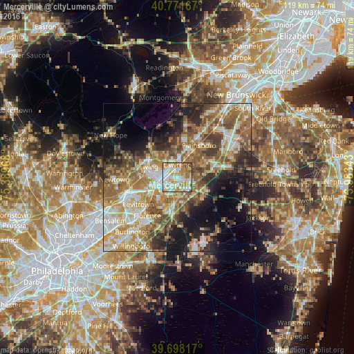
Analysis of Mercerville night lights 2016
Square area 10x10 km:
 27.11%
90-99
22.89%80-89
14.29%70-79
15.58%60-69
13.31%50-59
5.36%40-49
1.46%30-39
0%20-29
0%10-19
0%0-9
0%Square area 50x50 km:
7.28%90-99
8.62%80-89
7.41%70-79
8.59%60-69
9.75%50-59
8.84%40-49
6.29%30-39
6.24%20-29
7.32%10-19
11.4%0-9
18.28%Clear (daylight) street map image can be seen on geolist.org.
Map coordinates:
40° 46' 18" North, 75° 23' 22.8" West
40° 14' 13.4" North, 74° 41' 11.6" West
39° 41' 53.4" North, 73° 59' 0.3" West
Some cities around Mercerville sort by population:
• Trenton
5.3 km =3.3 mi,  245°
245°
• Ewing
10.3 km =6.4 mi,  290°
290°
• Princeton
12.6 km =7.8 mi,  10°
10°
• Hamilton Square
3 km =1.9 mi,  110°
110°
• White Horse
5.3 km =3.3 mi,  194°
194°
• Morrisville
9.1 km =5.7 mi, 251°
• Yardville
6.5 km =4 mi,  163°
163°
• Prospect Park
6.8 km =4.2 mi,  273°
273°
5101103 (p: 13,230)
Sources (retrieved 2019-11-25):
» Earth at Night: Flat Maps 2012, 2016