Ilchester night lights from space
Night Light of Ilchester (Maryland) from space (United States) Src. Average luminocity for 10x10km area is 81.4609% and for 50x50km: 67.733%.
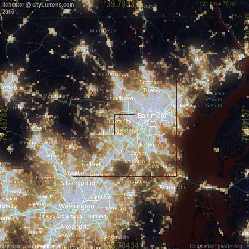
Analysis of Ilchester night lights 2016
Square area 10x10 km:
 18.2%
18.2%90-99
16.67%80-89
13.95%70-79
26.87%60-69
22.28%50-59
2.04%40-49
0%30-39
0%20-29
0%10-19
0%0-9
0%Square area 50x50 km:
19.85%90-99
15.93%80-89
7.87%70-79
9.72%60-69
9.87%50-59
8.87%40-49
5.87%30-39
6.62%20-29
5.19%10-19
7.26%0-9
2.96%Clear (daylight) street map image can be seen on geolist.org.
Map coordinates:
39° 47' 35.9" North, 77° 28' 4.2" West
39° 15' 3.4" North, 76° 45' 52.9" West
38° 42' 15.6" North, 76° 3' 41.7" West
Some cities around Ilchester sort by population:
• Columbia
6.5 km =4 mi,  259°
259°
• Ellicott City
3.4 km =2.1 mi,  302°
302°
• Catonsville
3.7 km =2.3 mi,  50°
50°
• Hanover
7.3 km =4.5 mi,  151°
151°
• Woodlawn
8.6 km =5.3 mi,  21°
21°
• West Elkridge
5.9 km =3.7 mi, 146°
• Arbutus
5.6 km =3.5 mi,  85°
85°
• Elkridge
6.1 km =3.8 mi,  134°
134°
4358864 (p: 23,476)
Sources (retrieved 2019-11-25):
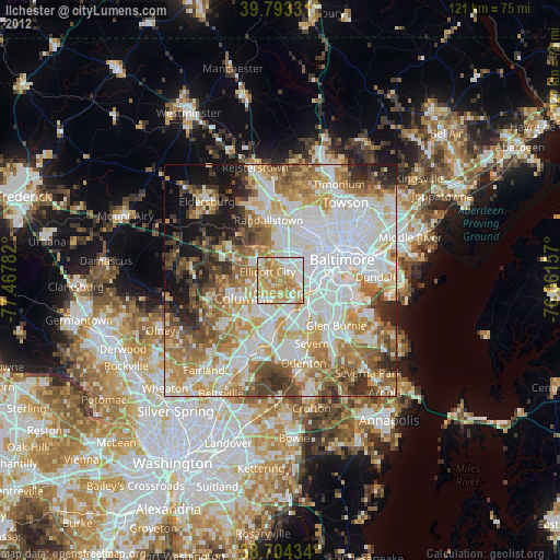
» Earth at Night: Flat Maps 2012, 2016