Queens night lights from space
Night Light of Queens (New York) from space (United States) Src. Average luminocity for 10x10km area is 96.0373% and for 50x50km: 66.6571%.
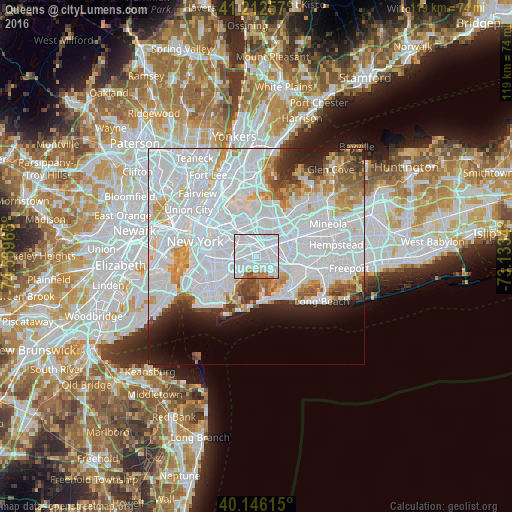
Analysis of Queens night lights 2016
Square area 10x10 km:
 78.25%
90-99
11.04%80-89
1.62%70-79
1.3%60-69
5.19%50-59
0.97%40-49
1.62%30-39
0%20-29
0%10-19
0%0-9
0%Square area 50x50 km:
38.86%90-99
13.72%80-89
3.72%70-79
4.28%60-69
3.76%50-59
2.88%40-49
2.56%30-39
2.45%20-29
4.09%10-19
5.52%0-9
18.15%Clear (daylight) street map image can be seen on geolist.org.
Map coordinates:
41° 12' 45.3" North, 74° 32' 22.7" West
40° 40' 53.4" North, 73° 50' 11.5" West
40° 8' 46.1" North, 73° 8' 0.2" West
Some cities around Queens sort by population:
• Jamaica
2.8 km =1.7 mi,  66°
66°
• Richmond Hill
2.1 km =1.3 mi,  12°
12°
• Forest Hills
4 km =2.5 mi,  343°
343°
• Ozone Park
0.8 km =0.5 mi,  229°
229°
• Briarwood
3.6 km =2.2 mi,  30°
30°
• Woodhaven
2 km =1.2 mi,  295°
295°
• Howard Beach
2.6 km =1.6 mi,  179°
179°
• Kew Gardens
3.7 km =2.3 mi, 7°
5133273 (p: 2,272,771)
Sources (retrieved 2019-11-25):
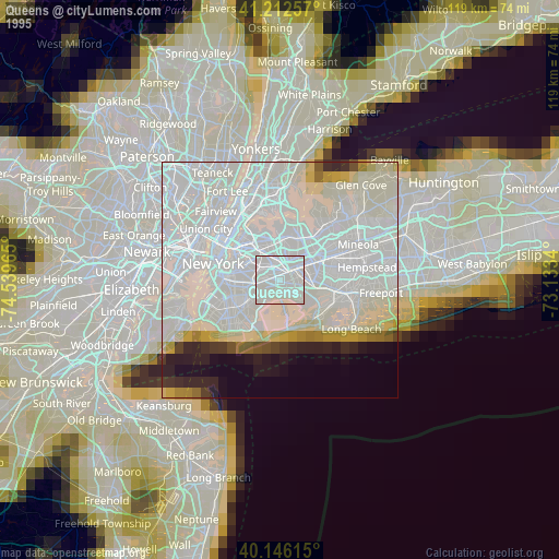
» NASA, Earths city lights 1995
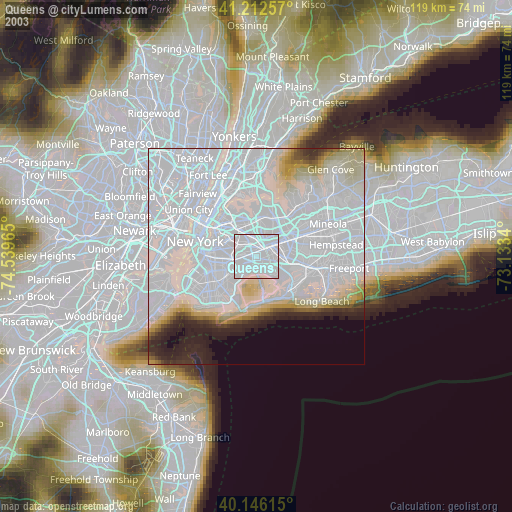
» NASA city lights 2003
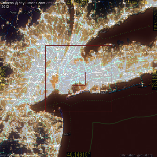
» Earth at Night: Flat Maps 2012, 2016