Cambridge night lights from space
Night Light of Cambridge (Massachusetts) from space (United States) Src. Average luminocity for 10x10km area is 99.0016% and for 50x50km: 56.5946%.
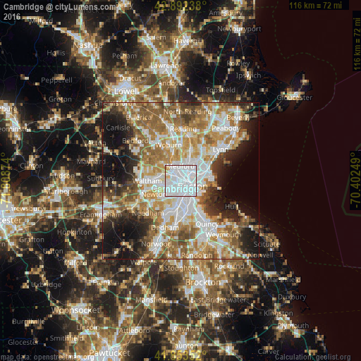
Analysis of Cambridge night lights 2016
Square area 10x10 km:
 83.97%
90-99
12.06%80-89
3.02%70-79
0.95%60-69
0%50-59
0%40-49
0%30-39
0%20-29
0%10-19
0%0-9
0%Square area 50x50 km:
13.92%90-99
12.18%80-89
6.63%70-79
7.71%60-69
10.43%50-59
9.2%40-49
5.51%30-39
4.58%20-29
7.43%10-19
11.81%0-9
10.59%Clear (daylight) street map image can be seen on geolist.org.
Map coordinates:
42° 53' 32.6" North, 71° 48' 31.5" West
42° 22' 30.4" North, 71° 6' 20.2" West
41° 51' 12.7" North, 70° 24' 9" West
Some cities around Cambridge sort by population:
• Boston
4.2 km =2.6 mi,  116°
116°
• Somerville
1.5 km =0.9 mi,  19°
19°
• Malden
6.4 km =4 mi,  30°
30°
• Brookline
5 km =3.1 mi,  194°
194°
• Medford
4.8 km =3 mi,  359°
359°
• Everett
5.7 km =3.5 mi,  49°
49°
• Arlington
6.1 km =3.8 mi,  317°
317°
• Chelsea
6.3 km =3.9 mi,  72°
72°
4931972 (p: 110,402)
Sources (retrieved 2019-11-25):
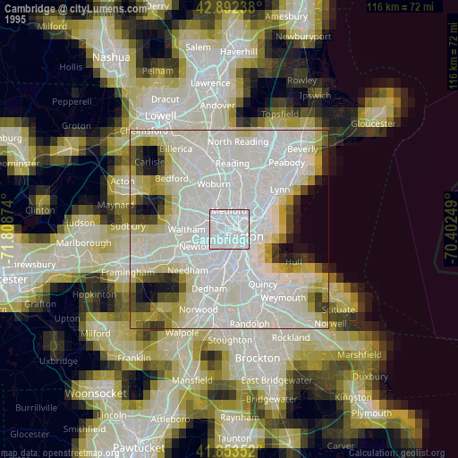
» NASA, Earths city lights 1995
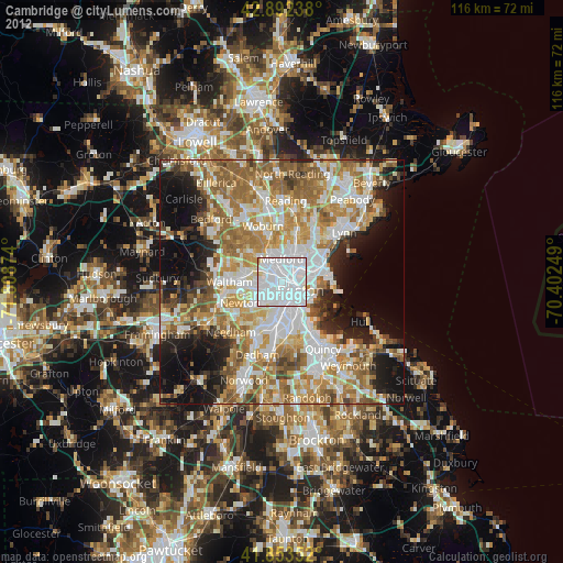
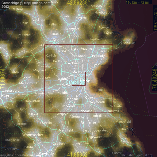
» NASA city lights 2003
» Earth at Night: Flat Maps 2012, 2016