Fernley night lights from space
Night Light of Fernley (Nevada) from space (United States) Src. Average luminocity for 10x10km area is 22.8718% and for 50x50km: 2.0688%.
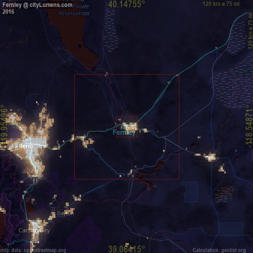
Analysis of Fernley night lights 2016
Square area 10x10 km:
 1.46%
1.46%90-99
2.44%80-89
0.49%70-79
6.82%60-69
4.87%50-59
4.87%40-49
2.76%30-39
4.22%20-29
1.62%10-19
17.53%0-9
52.92%Square area 50x50 km:
0.06%90-99
0.1%80-89
0.06%70-79
0.67%60-69
0.34%50-59
0.42%40-49
0.37%30-39
0.44%20-29
0.22%10-19
1.08%0-9
96.25%Clear (daylight) street map image can be seen on geolist.org.
Map coordinates:
40° 8' 51.2" North, 119° 57' 17.9" West
39° 36' 28.7" North, 119° 15' 6.6" West
39° 3' 50.9" North, 118° 32' 55.4" West
Some cities around Fernley sort by population:
• Reno
48.9 km =30.4 mi,  259°
259°
• Sparks
43.7 km =27.2 mi, 259°
• Sun Valley
44.9 km =27.9 mi,  268°
268°
• Spanish Springs
39.3 km =24.4 mi,  276°
276°
• Dayton
50.6 km =31.4 mi,  215°
215°
• Fallon
43.3 km =26.9 mi,  110°
110°
• Silver Springs
21.5 km =13.4 mi,  173°
173°
• Lemmon Valley
50.7 km =31.5 mi, 273°
5504003 (p: 19,418)
Sources (retrieved 2019-11-25):
» Earth at Night: Flat Maps 2012, 2016