Windsor night lights from space
Night Light of Windsor (California) from space (United States) Src. Average luminocity for 10x10km area is 27.2354% and for 50x50km: 8.0828%.
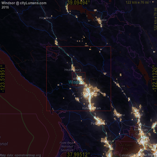
Analysis of Windsor night lights 2016
Square area 10x10 km:
 3.57%
3.57%90-99
3.9%80-89
2.6%70-79
5.36%60-69
5.84%50-59
3.25%40-49
1.3%30-39
2.6%20-29
4.22%10-19
27.27%0-9
40.1%Square area 50x50 km:
0.83%90-99
1.11%80-89
0.56%70-79
1.71%60-69
1.43%50-59
1.25%40-49
1.09%30-39
1.5%20-29
2.25%10-19
5.28%0-9
82.98%Clear (daylight) street map image can be seen on geolist.org.
Map coordinates:
39° 5' 41.8" North, 123° 31' 10.2" West
38° 32' 49.7" North, 122° 48' 59" West
37° 59' 42.4" North, 122° 6' 47.7" West
Some cities around Windsor sort by population:
• Santa Rosa
14.8 km =9.2 mi,  143°
143°
• Rohnert Park
25.2 km =15.7 mi,  156°
156°
• Healdsburg
8.4 km =5.2 mi,  326°
326°
• Larkfield-Wikiup
6.8 km =4.2 mi,  123°
123°
• Sebastopol
16.1 km =10 mi,  182°
182°
• Cotati
26.3 km =16.3 mi, 158°
• Roseland
15.9 km =9.9 mi,  151°
151°
• Calistoga
20.9 km =13 mi,  80°
80°
5410004 (p: 27,464)
Sources (retrieved 2019-11-25):
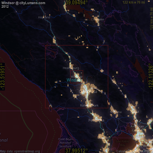
» Earth at Night: Flat Maps 2012, 2016