Rohnert Park night lights from space
Night Light of Rohnert Park (California) from space (United States) Src. Average luminocity for 10x10km area is 32.2364% and for 50x50km: 10.7497%.
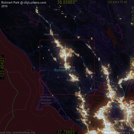
Analysis of Rohnert Park night lights 2016
Square area 10x10 km:
 2.72%
2.72%90-99
4.93%80-89
4.08%70-79
4.93%60-69
5.1%50-59
2.72%40-49
3.74%30-39
6.29%20-29
9.35%10-19
41.5%0-9
14.63%Square area 50x50 km:
1.1%90-99
1.38%80-89
0.68%70-79
1.94%60-69
1.89%50-59
1.86%40-49
1.52%30-39
1.92%20-29
2.63%10-19
8.36%0-9
76.72%Clear (daylight) street map image can be seen on geolist.org.
Map coordinates:
38° 53' 20.5" North, 123° 24' 15.2" West
38° 20' 22.7" North, 122° 42' 4" West
37° 47' 9.8" North, 121° 59' 52.7" West
Some cities around Rohnert Park sort by population:
• Santa Rosa
11.3 km =7 mi,  354°
354°
• Petaluma
13.2 km =8.2 mi,  154°
154°
• Sonoma
21.9 km =13.6 mi,  104°
104°
• Larkfield-Wikiup
19.8 km =12.3 mi, 347°
• Sebastopol
12.8 km =8 mi,  302°
302°
• Cotati
1.5 km =0.9 mi,  200°
200°
• Boyes Hot Springs
19.3 km =12 mi, 98°
• Roseland
9.5 km =5.9 mi, 345°
5388564 (p: 42,407)
Sources (retrieved 2019-11-25):
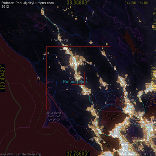
» Earth at Night: Flat Maps 2012, 2016