Wilmington night lights from space
Night Light of Wilmington (Delaware) from space (United States) Src. Average luminocity for 10x10km area is 89.1803% and for 50x50km: 48.6065%.
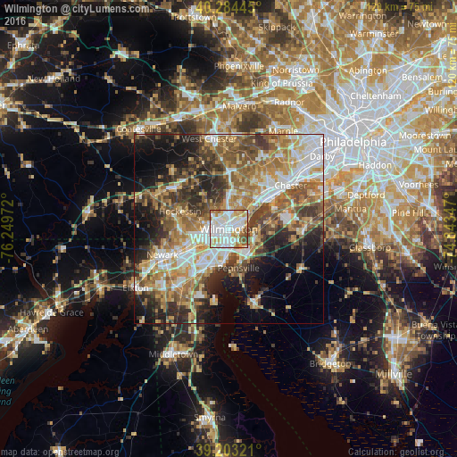

Analysis of Wilmington night lights 2016
Square area 10x10 km:
 31.46%
90-99
34.69%80-89
10.37%70-79
8.33%60-69
8.16%50-59
4.93%40-49
2.04%30-39
0%20-29
0%10-19
0%0-9
0%Square area 50x50 km:
8.63%90-99
9.05%80-89
6.62%70-79
7.84%60-69
8.7%50-59
8%40-49
7.06%30-39
7.45%20-29
8.5%10-19
10.42%0-9
17.72%Clear (daylight) street map image can be seen on geolist.org.
Map coordinates:
40° 17' 4" North, 76° 14' 59" West
39° 44' 45.4" North, 75° 32' 47.7" West
39° 12' 11.6" North, 74° 50' 36.5" West
Some cities around Wilmington sort by population:
• Pennsville
10.6 km =6.6 mi,  165°
165°
• Pike Creek Valley
13 km =8.1 mi,  265°
265°
• Claymont
9.6 km =6 mi,  50°
50°
• Pike Creek
13.6 km =8.5 mi,  262°
262°
• Carneys Point
7.6 km =4.7 mi,  120°
120°
• Elsmere
4.5 km =2.8 mi, 260°
• Edgemoor
4 km =2.5 mi,  83°
83°
• New Castle
9.5 km =5.9 mi,  190°
190°
4145381 (p: 71,948)
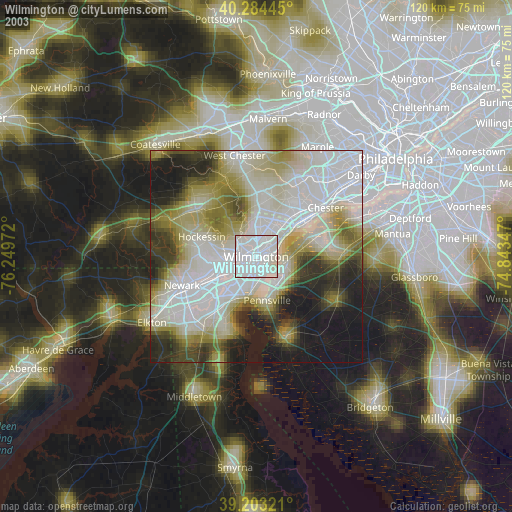
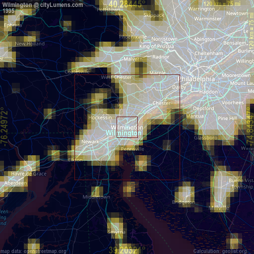
Sources (retrieved 2019-11-25):
» NASA, Earths city lights 1995
» NASA city lights 2003
» Earth at Night: Flat Maps 2012, 2016