Compton night lights from space
Night Light of Compton (California) from space (United States) Src. Average luminocity for 10x10km area is 99.9353% and for 50x50km: 80.746%.
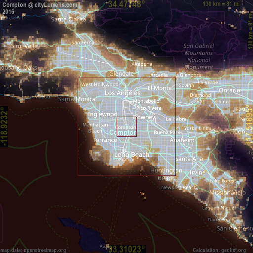
Analysis of Compton night lights 2016
Square area 10x10 km:
 93.88%
90-99
6.12%80-89
0%70-79
0%60-69
0%50-59
0%40-49
0%30-39
0%20-29
0%10-19
0%0-9
0%Square area 50x50 km:
47.93%90-99
20.09%80-89
4.84%70-79
4%60-69
3.6%50-59
2.09%40-49
1.62%30-39
1.45%20-29
2.79%10-19
3.94%0-9
7.65%Clear (daylight) street map image can be seen on geolist.org.
Map coordinates:
34° 28' 38.9" North, 118° 55' 23.5" West
33° 53' 45.1" North, 118° 13' 12.3" West
33° 18' 36.8" North, 117° 31' 1" West
Some cities around Compton sort by population:
• South Gate
6.6 km =4.1 mi,  6°
6°
• Lynwood
3.9 km =2.4 mi, 11°
• Paramount
5.6 km =3.5 mi,  97°
97°
• Willowbrook
4 km =2.5 mi,  306°
306°
• Cudahy
7.9 km =4.9 mi,  23°
23°
• Walnut Park
8 km =5 mi,  356°
356°
• East Rancho Dominguez
2.3 km =1.4 mi,  83°
83°
• West Rancho Dominguez
4.7 km =2.9 mi,  267°
267°
5339066 (p: 98,462)
Sources (retrieved 2019-11-25):
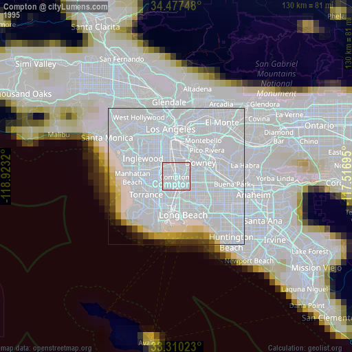
» NASA, Earths city lights 1995
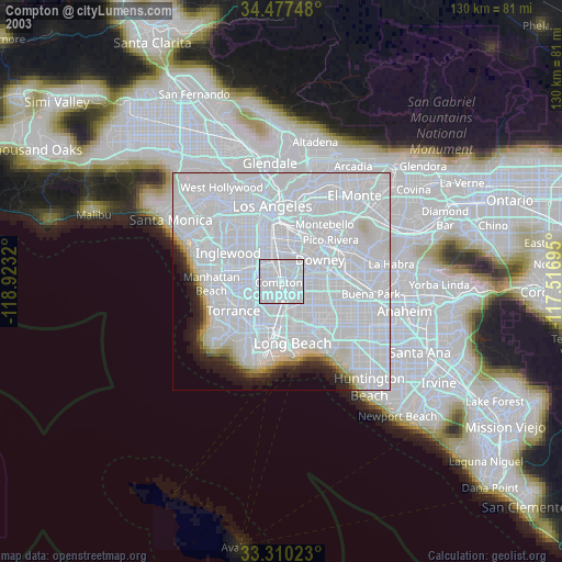
» NASA city lights 2003
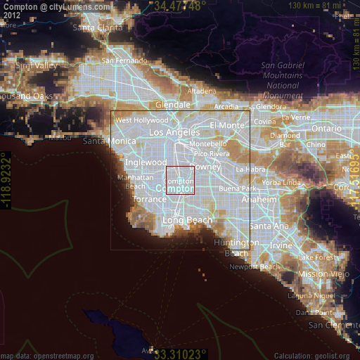
» Earth at Night: Flat Maps 2012, 2016