Wildomar night lights from space
Night Light of Wildomar (California) from space (United States) Src. Average luminocity for 10x10km area is 40.3864% and for 50x50km: 23.2597%.
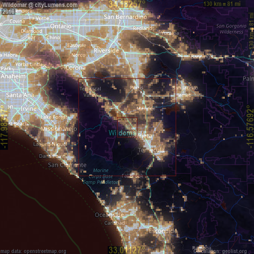
Analysis of Wildomar night lights 2016
Square area 10x10 km:
 1.1%
1.1%90-99
1.1%80-89
0.73%70-79
3.11%60-69
12.82%50-59
18.68%40-49
19.05%30-39
8.24%20-29
8.79%10-19
19.23%0-9
7.14%Square area 50x50 km:
1.5%90-99
1.81%80-89
0.75%70-79
2%60-69
7.35%50-59
6.44%40-49
6.95%30-39
5.43%20-29
6.86%10-19
14.42%0-9
46.49%Clear (daylight) street map image can be seen on geolist.org.
Map coordinates:
34° 10' 57.3" North, 117° 58' 59.4" West
33° 35' 56.1" North, 117° 16' 48.1" West
33° 0' 40.6" North, 116° 34' 36.9" West
Some cities around Wildomar sort by population:
• Temecula
16.9 km =10.5 mi,  133°
133°
• Murrieta
7.9 km =4.9 mi, 129°
• Menifee
19 km =11.8 mi,  40°
40°
• Lake Elsinore
8.8 km =5.5 mi,  330°
330°
• Sun City
14.5 km =9 mi,  31°
31°
• Lakeland Village
7.4 km =4.6 mi,  306°
306°
• Canyon Lake
9.6 km =6 mi,  3°
3°
• Good Hope
18.5 km =11.5 mi, 3°
5409260 (p: 35,632)
Sources (retrieved 2019-11-25):
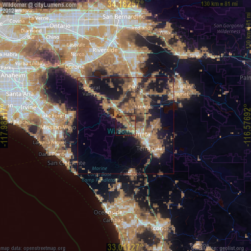
» Earth at Night: Flat Maps 2012, 2016