Wharton night lights from space
Night Light of Wharton (Texas) from space (United States) Src. Average luminocity for 10x10km area is 27.5038% and for 50x50km: 4.5037%.
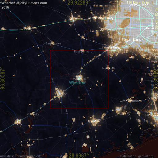
Analysis of Wharton night lights 2016
Square area 10x10 km:
 3.03%
3.03%90-99
2.46%80-89
6.25%70-79
3.03%60-69
4.92%50-59
1.89%40-49
2.46%30-39
8.33%20-29
2.65%10-19
28.22%0-9
36.74%Square area 50x50 km:
0.27%90-99
0.29%80-89
0.69%70-79
0.71%60-69
0.8%50-59
0.43%40-49
0.63%30-39
1.14%20-29
0.82%10-19
3.84%0-9
90.37%Clear (daylight) street map image can be seen on geolist.org.
Map coordinates:
29° 55' 22.4" North, 96° 48' 21.1" West
29° 18' 41.9" North, 96° 6' 9.9" West
28° 41' 48.1" North, 95° 23' 58.6" West
Some cities around Wharton sort by population:
• Rosenberg
39.5 km =24.5 mi,  46°
46°
• Bay City
38.8 km =24.1 mi,  160°
160°
• Pecan Grove
50.1 km =31.1 mi, 45°
• New Territory
51.5 km =32 mi, 52°
• Richmond
44.7 km =27.8 mi, 47°
• El Campo
20.6 km =12.8 mi,  231°
231°
• Greatwood
49.4 km =30.7 mi,  56°
56°
• Fulshear
46.4 km =28.8 mi,  25°
25°
4741325 (p: 8,726)
Sources (retrieved 2019-11-25):
» Earth at Night: Flat Maps 2012, 2016