Rocky River night lights from space
Night Light of Rocky River (Ohio) from space (United States) Src. Average luminocity for 10x10km area is 75.7551% and for 50x50km: 45.7523%.
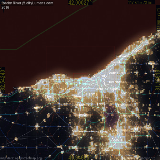
Analysis of Rocky River night lights 2016
Square area 10x10 km:
 35.03%
90-99
21.43%80-89
7.82%70-79
5.44%60-69
1.7%50-59
0%40-49
2.89%30-39
8.84%20-29
14.8%10-19
2.04%0-9
0%Square area 50x50 km:
15.58%90-99
9.76%80-89
4.37%70-79
5%60-69
8.23%50-59
4.48%40-49
3.51%30-39
3.65%20-29
6.31%10-19
6.26%0-9
32.85%Clear (daylight) street map image can be seen on geolist.org.
Map coordinates:
42° 0' 1" North, 82° 32' 32.7" West
41° 28' 32.2" North, 81° 50' 21.5" West
40° 56' 47.9" North, 81° 8' 10.2" West
Some cities around Rocky River sort by population:
• Lakewood
3.5 km =2.2 mi,  78°
78°
• Westlake
6.9 km =4.3 mi,  251°
251°
• North Olmsted
9.7 km =6 mi,  226°
226°
• Brook Park
9.1 km =5.7 mi,  161°
161°
• Detroit-Shoreway
9.1 km =5.7 mi,  88°
88°
• Fairview Park
4.3 km =2.7 mi,  208°
208°
• Bay Village
7 km =4.3 mi,  278°
278°
• Brooklyn
9.5 km =5.9 mi,  114°
114°
5168491 (p: 20,376)
Sources (retrieved 2019-11-25):
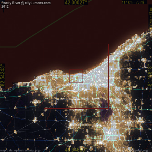
» Earth at Night: Flat Maps 2012, 2016