Lakewood night lights from space
Night Light of Lakewood (Ohio) from space (United States) Src. Average luminocity for 10x10km area is 72.869% and for 50x50km: 47.9222%.
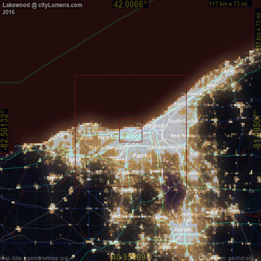
Analysis of Lakewood night lights 2016
Square area 10x10 km:
 40.65%
90-99
17.18%80-89
2.72%70-79
3.74%60-69
0.34%50-59
0.68%40-49
4.42%30-39
9.35%20-29
14.97%10-19
5.95%0-9
0%Square area 50x50 km:
17.04%90-99
10.77%80-89
4.47%70-79
5.29%60-69
8.04%50-59
4.24%40-49
3.34%30-39
3.55%20-29
6.03%10-19
5.54%0-9
31.69%Clear (daylight) street map image can be seen on geolist.org.
Map coordinates:
42° 0' 23.8" North, 82° 30' 4.8" West
41° 28' 55.2" North, 81° 47' 53.5" West
40° 57' 11.1" North, 81° 5' 42.3" West
Some cities around Lakewood sort by population:
• Cleveland
8.8 km =5.5 mi,  77°
77°
• Rocky River
3.5 km =2.2 mi,  258°
258°
• Brook Park
9.3 km =5.8 mi,  183°
183°
• Clark-Fulton
7.6 km =4.7 mi,  105°
105°
• Detroit-Shoreway
5.7 km =3.5 mi,  94°
94°
• Fairview Park
7.1 km =4.4 mi,  230°
230°
• Bay Village
10.3 km =6.4 mi,  271°
271°
• Brooklyn
7 km =4.3 mi,  131°
131°
5160315 (p: 50,656)
Sources (retrieved 2019-11-25):
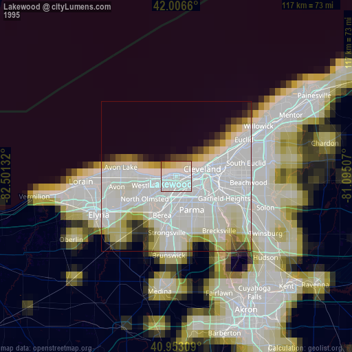
» NASA, Earths city lights 1995
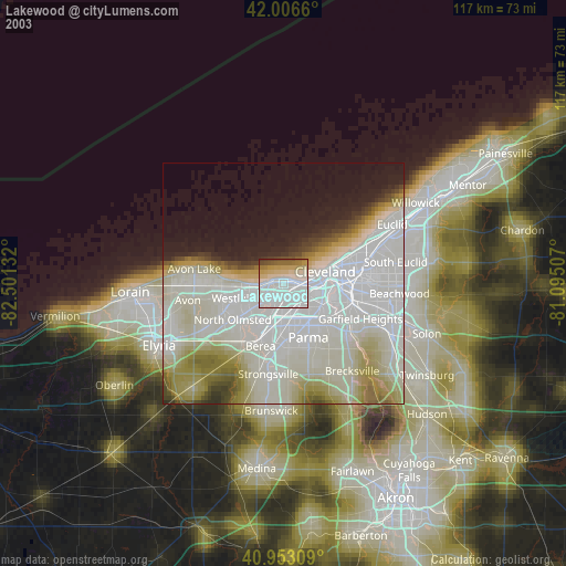
» NASA city lights 2003
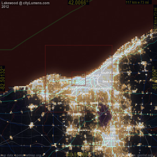
» Earth at Night: Flat Maps 2012, 2016