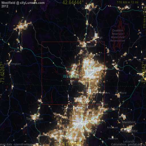
Westfield night lights from space
Night Light of Westfield (Massachusetts) from space (United States) Src. Average luminocity for 10x10km area is 47.3348% and for 50x50km: 23.5706%.
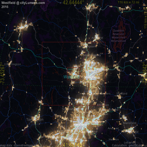
Analysis of Westfield night lights 2016
Square area 10x10 km:
 4.09%
4.09%90-99
5.3%80-89
8.48%70-79
5.61%60-69
10.91%50-59
8.64%40-49
12.73%30-39
11.82%20-29
11.97%10-19
14.09%0-9
6.36%Square area 50x50 km:
3.37%90-99
3.92%80-89
3.96%70-79
3.25%60-69
3.65%50-59
3.6%40-49
3.32%30-39
4.12%20-29
5.47%10-19
10.6%0-9
54.75%Clear (daylight) street map image can be seen on geolist.org.
Map coordinates:
42° 38' 40" North, 73° 27' 9.6" West
42° 7' 30.3" North, 72° 44' 58.3" West
41° 36' 5.2" North, 72° 2' 47.1" West
Some cities around Westfield sort by population:
• Springfield
13.4 km =8.3 mi,  101°
101°
• Chicopee
12 km =7.5 mi,  77°
77°
• North Chicopee
14 km =8.7 mi,  62°
62°
• Holyoke
14.1 km =8.8 mi,  51°
51°
• Agawam
12.7 km =7.9 mi,  119°
119°
• West Springfield
10.8 km =6.7 mi, 100°
• Southwick
8 km =5 mi,  192°
192°
• Southampton
11.7 km =7.3 mi,  7°
7°
4955190 (p: 41,690)
Sources (retrieved 2019-11-25):
» Earth at Night: Flat Maps 2012, 2016