Chicago night lights from space
Night Light of Chicago (Illinois) from space (United States) Src. Average luminocity for 10x10km area is 95.8968% and for 50x50km: 63.0038%.
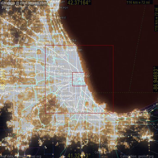
Analysis of Chicago night lights 2016
Square area 10x10 km:
 79.21%
90-99
10.95%80-89
0%70-79
0.95%60-69
5.08%50-59
3.02%40-49
0.79%30-39
0%20-29
0%10-19
0%0-9
0%Square area 50x50 km:
38.98%90-99
13.65%80-89
3.83%70-79
2.28%60-69
2.46%50-59
2.57%40-49
2.27%30-39
1.95%20-29
2.04%10-19
2.87%0-9
27.1%Clear (daylight) street map image can be seen on geolist.org.
Map coordinates:
42° 22' 17.9" North, 88° 21' 11.4" West
41° 51' 0.1" North, 87° 39' 0.2" West
41° 19' 26.9" North, 86° 56' 48.9" West
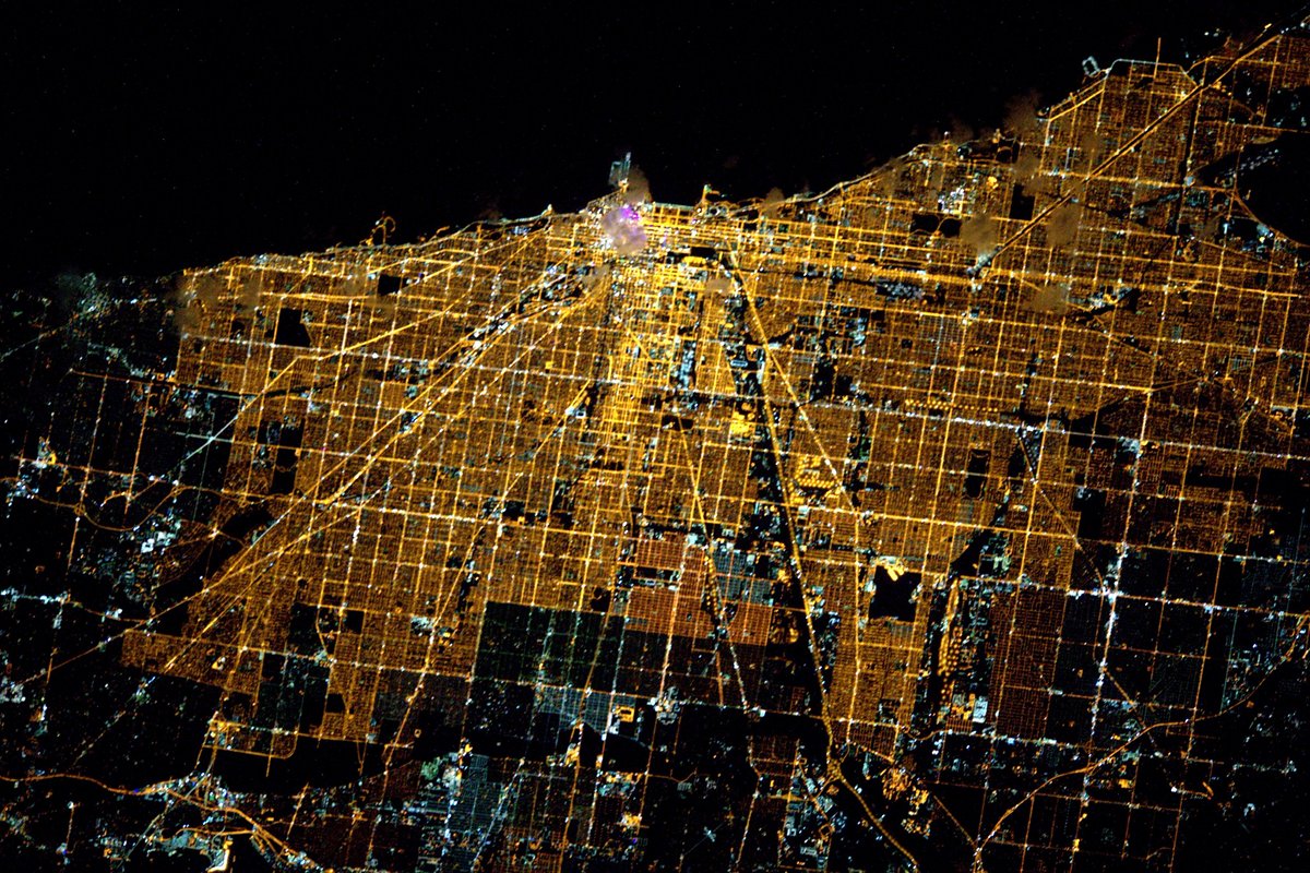
Fantastic image of Chicago from space taken by astronauts [src2], but I don't have information about it's orientation, scale or angle. If necessary, it was rotated manually, so North points approximately to upper direction. Click to zoom in:
Some cities around Chicago sort by population:
• South Lawndale
5.2 km =3.2 mi,  262°
262°
• New City
4.8 km =3 mi,  186°
186°
• Lower West Side
1.4 km =0.9 mi,  289°
289°
• Bridgeport
1.3 km =0.8 mi,  183°
183°
• Near South Side
2.2 km =1.4 mi,  70°
70°
• Grand Boulevard
4.8 km =3 mi,  145°
145°
• Douglas
3.1 km =1.9 mi,  122°
122°
• McKinley Park
2.8 km =1.7 mi,  223°
223°
4887398 (p: 2,720,546)
Sources (retrieved 2019-11-25):
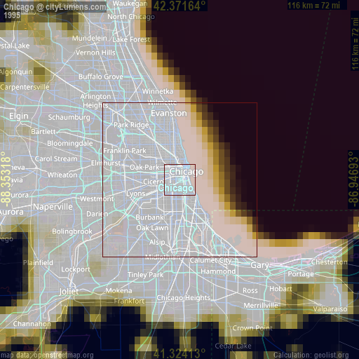
» NASA, Earths city lights 1995
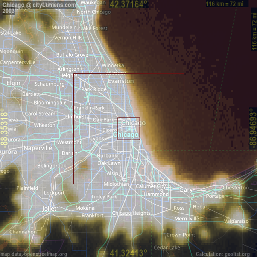
» NASA city lights 2003
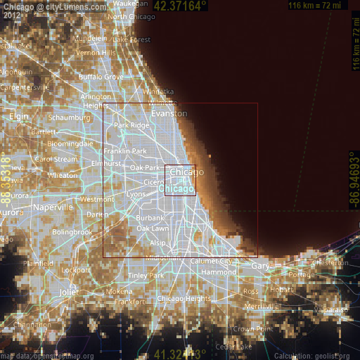
» Earth at Night: Flat Maps 2012, 2016
Src.2: Tim Kopra, Twitter/@astro_tim, 2016-04-05