West Raleigh night lights from space
Night Light of West Raleigh (North Carolina) from space (United States) Src. Average luminocity for 10x10km area is 95.1451% and for 50x50km: 65.3067%.
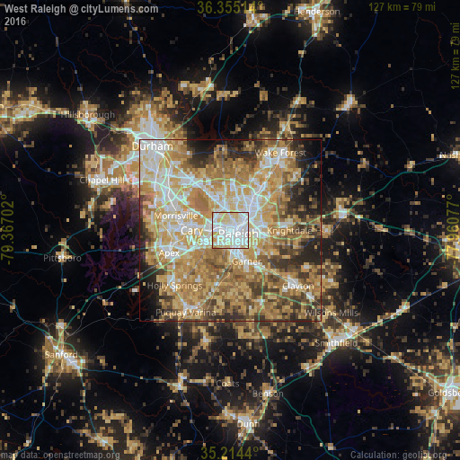
Analysis of West Raleigh night lights 2016
Square area 10x10 km:
 43.88%
90-99
33.74%80-89
16.96%70-79
4.72%60-69
0.7%50-59
0%40-49
0%30-39
0%20-29
0%10-19
0%0-9
0%Square area 50x50 km:
11.41%90-99
11.68%80-89
13.81%70-79
13.56%60-69
13.67%50-59
7.7%40-49
6.73%30-39
6.78%20-29
6.64%10-19
5.07%0-9
2.94%Clear (daylight) street map image can be seen on geolist.org.
Map coordinates:
36° 21' 18.5" North, 79° 22' 1.3" West
35° 47' 12.6" North, 78° 39' 50" West
35° 12' 51.8" North, 77° 57' 38.8" West
Some cities around West Raleigh sort by population:
• Raleigh
2.8 km =1.7 mi,  125°
125°
• Cary
10.6 km =6.6 mi,  272°
272°
• Apex
17.9 km =11.1 mi,  250°
250°
• Holly Springs
21.5 km =13.4 mi,  225°
225°
• Garner
9.5 km =5.9 mi,  151°
151°
• Morrisville
15.1 km =9.4 mi,  285°
285°
• Knightdale
16.5 km =10.3 mi,  89°
89°
• Rolesville
24 km =14.9 mi,  50°
50°
4498303 (p: 338,759)
Sources (retrieved 2019-11-25):
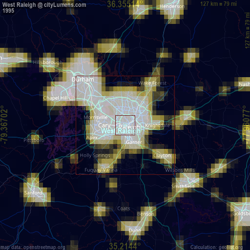
» NASA, Earths city lights 1995
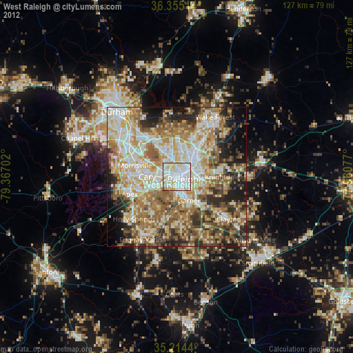
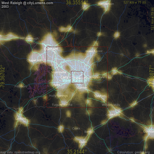
» NASA city lights 2003
» Earth at Night: Flat Maps 2012, 2016