Garner night lights from space
Night Light of Garner (North Carolina) from space (United States) Src. Average luminocity for 10x10km area is 80.1678% and for 50x50km: 60.9136%.
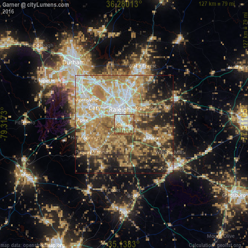
Analysis of Garner night lights 2016
Square area 10x10 km:
 15.91%
90-99
19.06%80-89
17.66%70-79
18.36%60-69
17.83%50-59
8.39%40-49
2.8%30-39
0%20-29
0%10-19
0%0-9
0%Square area 50x50 km:
9.5%90-99
9.96%80-89
13.04%70-79
12.62%60-69
12.58%50-59
7.3%40-49
7.33%30-39
7.9%20-29
8.21%10-19
8.12%0-9
3.44%Clear (daylight) street map image can be seen on geolist.org.
Map coordinates:
36° 16' 48.5" North, 79° 19' 2.3" West
35° 42' 40.5" North, 78° 36' 51" West
35° 8' 17.9" North, 77° 54' 39.8" West
Some cities around Garner sort by population:
• Raleigh
7.1 km =4.4 mi,  341°
341°
• West Raleigh
9.5 km =5.9 mi,  331°
331°
• Cary
17.5 km =10.9 mi,  300°
300°
• Apex
21.4 km =13.3 mi,  276°
276°
• Holly Springs
20.9 km =13 mi,  251°
251°
• Fuquay-Varina
21.9 km =13.6 mi,  229°
229°
• Clayton
15.8 km =9.8 mi,  115°
115°
• Knightdale
14.7 km =9.1 mi,  54°
54°
4467657 (p: 28,053)
Sources (retrieved 2019-11-25):
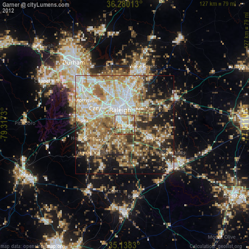
» Earth at Night: Flat Maps 2012, 2016