Opa-locka night lights from space
Night Light of Opa-locka (Florida) from space (United States) Src. Average luminocity for 10x10km area is 99.7216% and for 50x50km: 64.9562%.
Analysis of Opa-locka night lights 2016
Square area 10x10 km:
 86.17%
90-99
13.45%80-89
0.38%70-79
0%60-69
0%50-59
0%40-49
0%30-39
0%20-29
0%10-19
0%0-9
0%Square area 50x50 km:
35.92%90-99
12.92%80-89
2.81%70-79
3.77%60-69
5.6%50-59
3.9%40-49
4.51%30-39
4.3%20-29
3.91%10-19
5.32%0-9
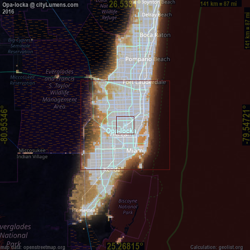
17.04%Clear (daylight) street map image can be seen on geolist.org.
Map coordinates:
26° 31' 59.2" North, 80° 57' 12.5" West
25° 54' 8.4" North, 80° 15' 1.2" West
25° 16' 5.3" North, 79° 32' 50" West
Some cities around Opa-locka sort by population:
• Hialeah
5.7 km =3.5 mi,  209°
209°
• Miami Gardens
4.4 km =2.7 mi,  6°
6°
• Carol City
4.3 km =2.7 mi, 6°
• West Little River
5.2 km =3.2 mi,  165°
165°
• Golden Glades
5.1 km =3.2 mi,  78°
78°
• Pinewood
5 km =3.1 mi,  138°
138°
• Scott Lake
4.7 km =2.9 mi,  22°
22°
• Westview
2.4 km =1.5 mi,  159°
159°
4167003 (p: 16,565)
Sources (retrieved 2019-11-25):
» Earth at Night: Flat Maps 2012, 2016