Rensselaer night lights from space
Night Light of Rensselaer (Indiana) from space (United States) Src. Average luminocity for 10x10km area is 18.3776% and for 50x50km: 2.4424%.
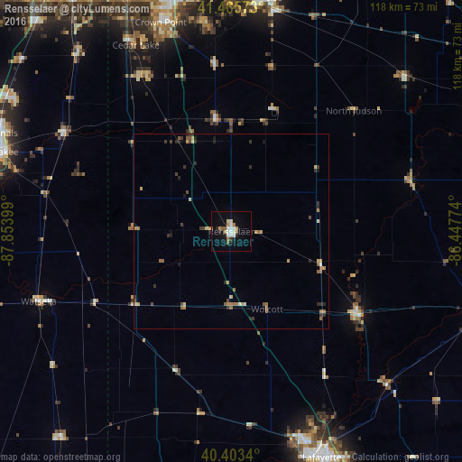
Analysis of Rensselaer night lights 2016
Square area 10x10 km:
 2.38%
2.38%90-99
4.59%80-89
1.53%70-79
2.21%60-69
1.53%50-59
3.06%40-49
0%30-39
0.68%20-29
1.87%10-19
11.73%0-9
70.41%Square area 50x50 km:
0.14%90-99
0.27%80-89
0.29%70-79
0.45%60-69
0.45%50-59
0.46%40-49
0.19%30-39
0.49%20-29
0.55%10-19
0.64%0-9
96.09%Clear (daylight) street map image can be seen on geolist.org.
Map coordinates:
41° 27' 56.6" North, 87° 51' 14.4" West
40° 56' 12.1" North, 87° 9' 3.1" West
40° 24' 12.2" North, 86° 26' 51.9" West
Some cities around Rensselaer sort by population:
• Valparaiso
60.1 km =37.3 mi,  7°
7°
• Crown Point
56.3 km =35 mi,  341°
341°
• Cedar Lake
53.4 km =33.2 mi,  332°
332°
• Lowell
45.5 km =28.3 mi, 330°
• Lakes of the Four Seasons
52.9 km =32.9 mi,  354°
354°
• Winfield
53.1 km =33 mi, 348°
• Monticello
38.8 km =24.1 mi,  123°
123°
• Watseka
52.4 km =32.6 mi,  250°
250°
4925311 (p: 5,927)
Sources (retrieved 2019-11-25):
» Earth at Night: Flat Maps 2012, 2016