West Hills night lights from space
Night Light of West Hills (California) from space (United States) Src. Average luminocity for 10x10km area is 69.7564% and for 50x50km: 47.763%.
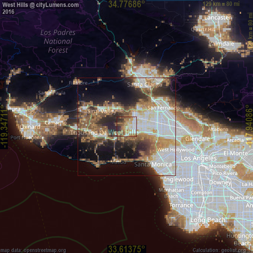
Analysis of West Hills night lights 2016
Square area 10x10 km:
 15.38%
90-99
12.82%80-89
6.04%70-79
16.48%60-69
18.32%50-59
9.52%40-49
8.42%30-39
6.59%20-29
6.41%10-19
0%0-9
0%Square area 50x50 km:
12.14%90-99
9.58%80-89
4.07%70-79
5.43%60-69
9.23%50-59
6.97%40-49
6.35%30-39
5.81%20-29
8.4%10-19
10.44%0-9
21.6%Clear (daylight) street map image can be seen on geolist.org.
Map coordinates:
34° 46' 36.7" North, 119° 20' 49.6" West
34° 11' 50.3" North, 118° 38' 38.3" West
33° 36' 49.5" North, 117° 56' 27.1" West
Some cities around West Hills sort by population:
• Woodland Hills
4.8 km =3 mi,  132°
132°
• Northridge
10.4 km =6.5 mi,  70°
70°
• Canoga Park
4.2 km =2.6 mi,  84°
84°
• Chatsworth
7.7 km =4.8 mi,  30°
30°
• Calabasas
4.4 km =2.7 mi,  173°
173°
• Agoura
10.5 km =6.5 mi,  235°
235°
• Oak Park
11.1 km =6.9 mi,  259°
259°
• Topanga
12.2 km =7.6 mi,  161°
161°
8030162 (p: 41,426)
Sources (retrieved 2019-11-25):
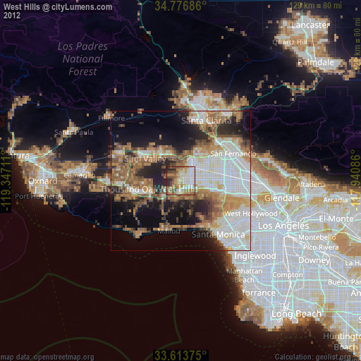
» Earth at Night: Flat Maps 2012, 2016