Agoura night lights from space
Night Light of Agoura (California) from space (United States) Src. Average luminocity for 10x10km area is 46.8645% and for 50x50km: 33.2101%.
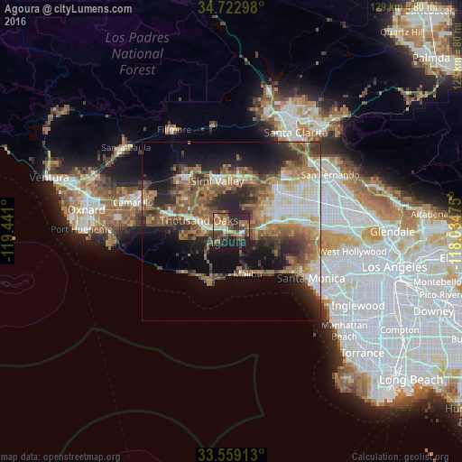
Analysis of Agoura night lights 2016
Square area 10x10 km:
 3.48%
3.48%90-99
6.23%80-89
4.03%70-79
3.11%60-69
13.55%50-59
10.81%40-49
13.37%30-39
9.52%20-29
23.26%10-19
12.64%0-9
0%Square area 50x50 km:
4.44%90-99
5.07%80-89
2.98%70-79
3.91%60-69
8.3%50-59
6.86%40-49
6.5%30-39
5.74%20-29
8.34%10-19
11.45%0-9
36.41%Clear (daylight) street map image can be seen on geolist.org.
Map coordinates:
34° 43' 22.7" North, 119° 26' 27.6" West
34° 8' 35" North, 118° 44' 16.3" West
33° 33' 32.9" North, 118° 2' 5.1" West
Some cities around Agoura sort by population:
• Thousand Oaks
9.7 km =6 mi,  288°
288°
• Woodland Hills
12.5 km =7.8 mi,  76°
76°
• West Hills
10.5 km =6.5 mi,  55°
55°
• Calabasas
9.3 km =5.8 mi, 79°
• Oak Park
4.6 km =2.9 mi,  330°
330°
• Malibu
13.6 km =8.5 mi,  196°
196°
• Westlake Village
6.2 km =3.9 mi,  272°
272°
• Topanga
13.7 km =8.5 mi,  113°
113°
5322551 (p: 20,537)
Sources (retrieved 2019-11-25):
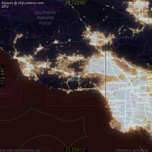
» Earth at Night: Flat Maps 2012, 2016