Calabasas night lights from space
Night Light of Calabasas (California) from space (United States) Src. Average luminocity for 10x10km area is 63.3114% and for 50x50km: 46.6444%.
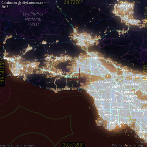
Analysis of Calabasas night lights 2016
Square area 10x10 km:
 10.62%
90-99
9.34%80-89
3.85%70-79
12.64%60-69
21.25%50-59
12.27%40-49
11.72%30-39
9.71%20-29
8.24%10-19
0.37%0-9
0%Square area 50x50 km:
12.58%90-99
9.24%80-89
3.87%70-79
5.12%60-69
8.63%50-59
6.83%40-49
5.97%30-39
5.66%20-29
8.15%10-19
10.08%0-9
23.86%Clear (daylight) street map image can be seen on geolist.org.
Map coordinates:
34° 44' 15.4" North, 119° 20' 29.6" West
34° 9' 28" North, 118° 38' 18.3" West
33° 34' 26.2" North, 117° 56' 7.1" West
Some cities around Calabasas sort by population:
• Woodland Hills
3.2 km =2 mi,  68°
68°
• Northridge
12.2 km =7.6 mi,  50°
50°
• Canoga Park
6.1 km =3.8 mi,  37°
37°
• West Hills
4.4 km =2.7 mi,  353°
353°
• Chatsworth
11.6 km =7.2 mi,  17°
17°
• Agoura
9.3 km =5.8 mi,  259°
259°
• Oak Park
11.7 km =7.3 mi,  281°
281°
• Topanga
7.9 km =4.9 mi,  154°
154°
5332593 (p: 23,058)
Sources (retrieved 2019-11-25):
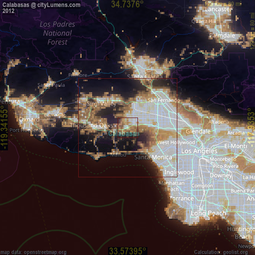
» Earth at Night: Flat Maps 2012, 2016