Batavia night lights from space
Night Light of Batavia (Illinois) from space (United States) Src. Average luminocity for 10x10km area is 80.1413% and for 50x50km: 58.85%.
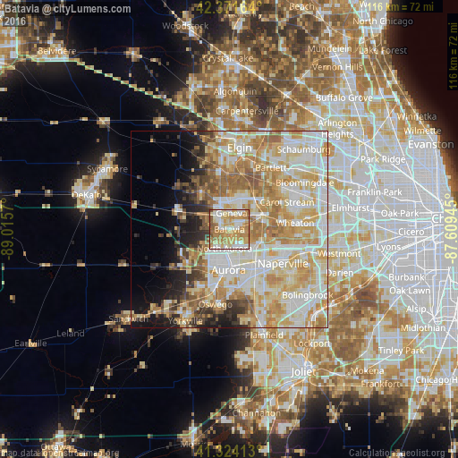
Analysis of Batavia night lights 2016
Square area 10x10 km:
 13.49%
90-99
17.62%80-89
18.57%70-79
22.38%60-69
20.16%50-59
5.71%40-49
1.27%30-39
0.79%20-29
0%10-19
0%0-9
0%Square area 50x50 km:
13.56%90-99
14.72%80-89
11.34%70-79
11.11%60-69
8.98%50-59
5.24%40-49
2.96%30-39
2.82%20-29
4.06%10-19
6.14%0-9
19.08%Clear (daylight) street map image can be seen on geolist.org.
Map coordinates:
42° 22' 17.9" North, 89° 0' 56.5" West
41° 51' 0.1" North, 88° 18' 45.3" West
41° 19' 26.9" North, 87° 36' 34" West
Some cities around Batavia sort by population:
• Aurora
10 km =6.2 mi,  183°
183°
• Saint Charles
7.1 km =4.4 mi,  2°
2°
• West Chicago
9.8 km =6.1 mi,  66°
66°
• Wasco
12.4 km =7.7 mi,  322°
322°
• Geneva
4.2 km =2.6 mi,  8°
8°
• North Aurora
5 km =3.1 mi,  194°
194°
• Village of Campton Hills
11.9 km =7.4 mi, 323°
• Warrenville
12.1 km =7.5 mi,  107°
107°
4884192 (p: 26,495)
Sources (retrieved 2019-11-25):
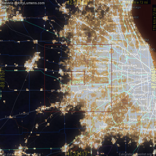
» Earth at Night: Flat Maps 2012, 2016