Wesley Chapel night lights from space
Night Light of Wesley Chapel (Florida) from space (United States) Src. Average luminocity for 10x10km area is 62.1171% and for 50x50km: 41.7193%.
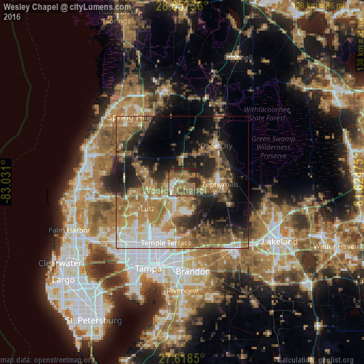
Analysis of Wesley Chapel night lights 2016
Square area 10x10 km:
 6.35%
6.35%90-99
5.75%80-89
2.58%70-79
9.33%60-69
40.48%50-59
14.68%40-49
6.35%30-39
6.55%20-29
7.54%10-19
0.4%0-9
0%Square area 50x50 km:
5.43%90-99
5.65%80-89
3.81%70-79
6.04%60-69
16.48%50-59
5.91%40-49
5.62%30-39
5.76%20-29
8.41%10-19
13.67%0-9
23.21%Clear (daylight) street map image can be seen on geolist.org.
Map coordinates:
28° 51' 26.5" North, 83° 1' 51.6" West
28° 14' 23" North, 82° 19' 40.3" West
27° 37' 6.6" North, 81° 37' 29.1" West
Some cities around Wesley Chapel sort by population:
• Land O' Lakes
12.9 km =8 mi,  259°
259°
• Lutz
16.4 km =10.2 mi,  233°
233°
• Zephyrhills
14.4 km =8.9 mi,  92°
92°
• Pebble Creek
10.3 km =6.4 mi,  189°
189°
• Pasadena Hills
11.1 km =6.9 mi,  66°
66°
• Dade City
19 km =11.8 mi,  42°
42°
• Zephyrhills West
12 km =7.5 mi, 94°
• Zephyrhills South
13.9 km =8.6 mi,  101°
101°
4177727 (p: 44,092)
Sources (retrieved 2019-11-25):
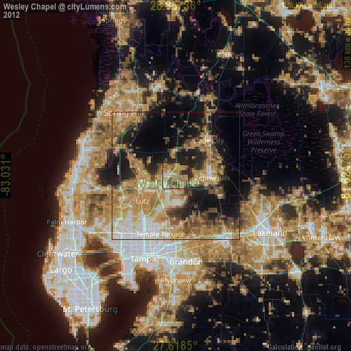
» Earth at Night: Flat Maps 2012, 2016