Land O' Lakes night lights from space
Night Light of Land O' Lakes (Florida) from space (United States) Src. Average luminocity for 10x10km area is 62.7341% and for 50x50km: 54.3674%.
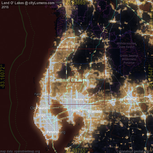
Analysis of Land O' Lakes night lights 2016
Square area 10x10 km:
 4.56%
4.56%90-99
8.33%80-89
6.94%70-79
14.68%60-69
31.94%50-59
7.74%40-49
6.94%30-39
8.93%20-29
9.72%10-19
0.2%0-9
0%Square area 50x50 km:
8.77%90-99
8.83%80-89
5.55%70-79
9.02%60-69
20.66%50-59
7.89%40-49
5.92%30-39
4.73%20-29
7.85%10-19
10.24%0-9
10.53%Clear (daylight) street map image can be seen on geolist.org.
Map coordinates:
28° 50' 11.9" North, 83° 9' 38.6" West
28° 13' 8" North, 82° 27' 27.3" West
27° 35' 51.2" North, 81° 45' 16.1" West
Some cities around Land O' Lakes sort by population:
• Wesley Chapel
12.9 km =8 mi,  79°
79°
• University
16.2 km =10.1 mi,  173°
173°
• Northdale
14.7 km =9.1 mi,  198°
198°
• Greater Northdale
14.3 km =8.9 mi,  207°
207°
• Lutz
7.5 km =4.7 mi,  182°
182°
• Cheval
9.6 km =6 mi,  215°
215°
• Pebble Creek
13.5 km =8.4 mi,  125°
125°
• Odessa
13.4 km =8.3 mi,  258°
258°
4161534 (p: 31,996)
Sources (retrieved 2019-11-25):
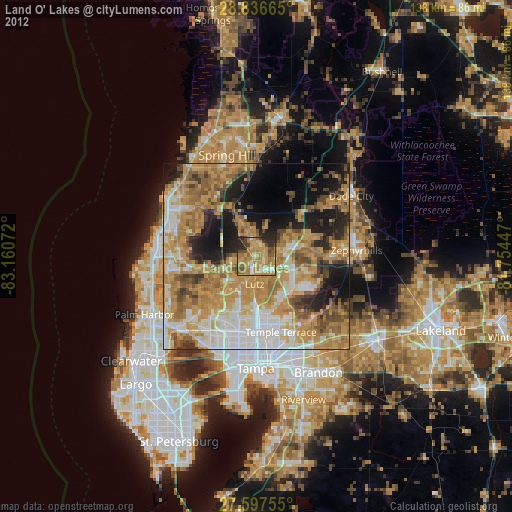
» Earth at Night: Flat Maps 2012, 2016