Wayne night lights from space
Night Light of Wayne (New Jersey) from space (United States) Src. Average luminocity for 10x10km area is 75.6701% and for 50x50km: 63.0059%.
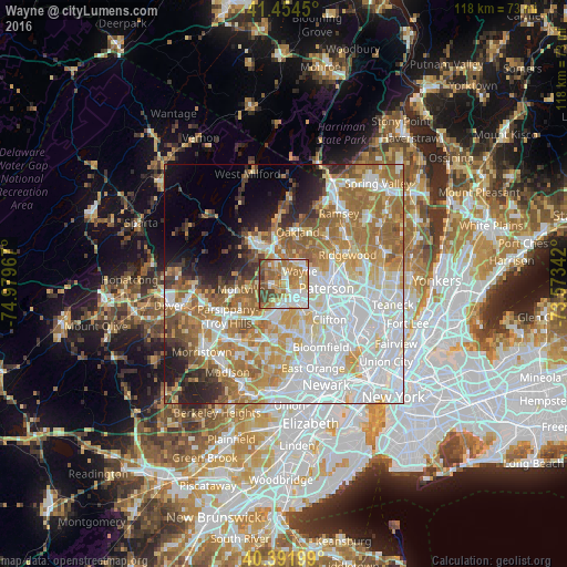
Analysis of Wayne night lights 2016
Square area 10x10 km:
 13.78%
90-99
19.05%80-89
9.35%70-79
16.16%60-69
21.09%50-59
7.99%40-49
10.54%30-39
2.04%20-29
0%10-19
0%0-9
0%Square area 50x50 km:
20.63%90-99
13.82%80-89
6.82%70-79
9.17%60-69
12.05%50-59
6.45%40-49
3.67%30-39
3.13%20-29
4.7%10-19
5.4%0-9
14.16%Clear (daylight) street map image can be seen on geolist.org.
Map coordinates:
41° 27' 16.2" North, 74° 58' 46.8" West
40° 55' 31.4" North, 74° 16' 35.5" West
40° 23' 31.2" North, 73° 34' 24.3" West
Some cities around Wayne sort by population:
• Woodland Park
7.9 km =4.9 mi,  119°
119°
• Totowa
6 km =3.7 mi,  111°
111°
• Little Falls
8.5 km =5.3 mi,  137°
137°
• Lincoln Park
2.2 km =1.4 mi,  266°
266°
• North Haledon
8.3 km =5.2 mi,  66°
66°
• Haledon
7.7 km =4.8 mi,  81°
81°
• Fairfield
5.3 km =3.3 mi,  208°
208°
• North Caldwell
6.9 km =4.3 mi,  167°
167°
5106160 (p: 57,915)
Sources (retrieved 2019-11-25):
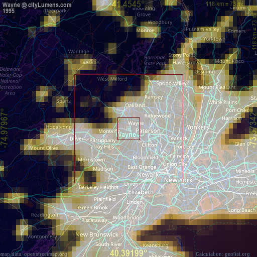
» NASA, Earths city lights 1995
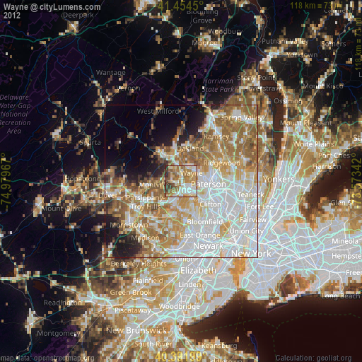
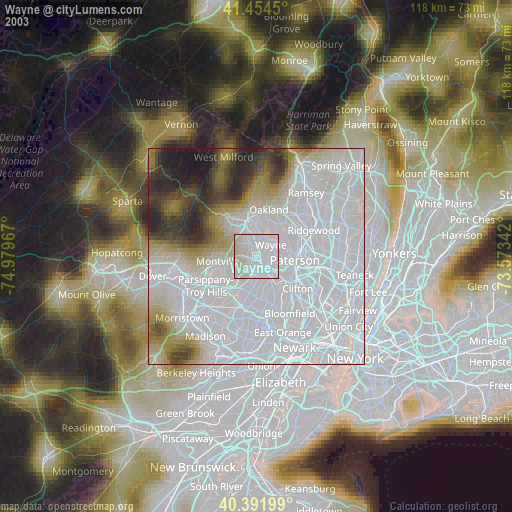
» NASA city lights 2003
» Earth at Night: Flat Maps 2012, 2016