Waycross night lights from space
Night Light of Waycross (Georgia) from space (United States) Src. Average luminocity for 10x10km area is 61.4927% and for 50x50km: 5.1476%.
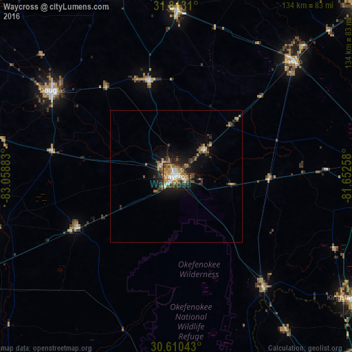
Analysis of Waycross night lights 2016
Square area 10x10 km:
 8.79%
8.79%90-99
11.17%80-89
5.49%70-79
14.84%60-69
19.6%50-59
4.95%40-49
9.16%30-39
9.89%20-29
10.44%10-19
5.68%0-9
0%Square area 50x50 km:
0.42%90-99
0.53%80-89
0.34%70-79
1.12%60-69
1.11%50-59
0.54%40-49
0.71%30-39
1.22%20-29
1.4%10-19
3.53%0-9
89.07%Clear (daylight) street map image can be seen on geolist.org.
Map coordinates:
31° 48' 47.2" North, 83° 3' 31.8" West
31° 12' 49.2" North, 82° 21' 20.5" West
30° 36' 37.5" North, 81° 39' 9.3" West
Some cities around Waycross sort by population:
• Kingsland
78.4 km =48.7 mi,  125°
125°
• Brunswick
82.5 km =51.3 mi,  94°
94°
• Douglas
57.3 km =35.6 mi,  304°
304°
• Jesup
62.5 km =38.8 mi,  45°
45°
• Country Club Estates
84.8 km =52.7 mi, 90°
• Dock Junction
79.8 km =49.6 mi, 90°
• Folkston
53.7 km =33.4 mi,  142°
142°
• Glennville
90 km =55.9 mi,  26°
26°
4229763 (p: 14,053)
Sources (retrieved 2019-11-25):
» Earth at Night: Flat Maps 2012, 2016