Fort Lee night lights from space
Night Light of Fort Lee (New Jersey) from space (United States) Src. Average luminocity for 10x10km area is 96.7126% and for 50x50km: 86.2829%.
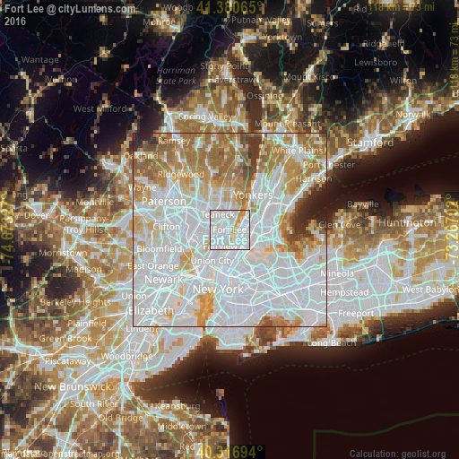
Analysis of Fort Lee night lights 2016
Square area 10x10 km:
 48.3%
48.3%90-99
40.99%80-89
5.44%70-79
4.08%60-69
1.19%50-59
0%40-49
0%30-39
0%20-29
0%10-19
0%0-9
0%Square area 50x50 km:
44.79%90-99
18.95%80-89
6.69%70-79
8.59%60-69
10.2%50-59
4.34%40-49
1.84%30-39
1.96%20-29
1.74%10-19
0.89%0-9
0%Clear (daylight) street map image can be seen on geolist.org.
Map coordinates:
41° 22' 50.3" North, 74° 40' 23.8" West
40° 51' 3.3" North, 73° 58' 12.5" West
40° 19' 1" North, 73° 16' 1.3" West
Some cities around Fort Lee sort by population:
• Washington Heights
2.9 km =1.8 mi,  91°
91°
• Cliffside Park
3.6 km =2.2 mi,  204°
204°
• Palisades Park
2.3 km =1.4 mi,  262°
262°
• Edgewater
2.7 km =1.7 mi,  189°
189°
• Ridgefield
3.7 km =2.3 mi,  240°
240°
• Inwood
4 km =2.5 mi,  65°
65°
• Leonia
1.9 km =1.2 mi,  307°
307°
• Englewood Cliffs
4.1 km =2.5 mi,  21°
21°
5098135 (p: 36,672)
Sources (retrieved 2019-11-25):
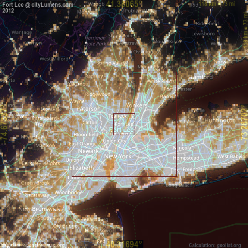
» Earth at Night: Flat Maps 2012, 2016