University Heights night lights from space
Night Light of University Heights (New York) from space (United States) Src. Average luminocity for 10x10km area is 95.5102% and for 50x50km: 83.9616%.
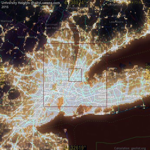
Analysis of University Heights night lights 2016
Square area 10x10 km:
 61.05%
90-99
23.3%80-89
4.25%70-79
8.33%60-69
3.06%50-59
0%40-49
0%30-39
0%20-29
0%10-19
0%0-9
0%Square area 50x50 km:
42.85%90-99
18.04%80-89
6.38%70-79
8.36%60-69
10.67%50-59
4.37%40-49
2.31%30-39
2.33%20-29
2.09%10-19
2.31%0-9
0.29%Clear (daylight) street map image can be seen on geolist.org.
Map coordinates:
41° 23' 23.1" North, 74° 36' 44.7" West
40° 51' 36.4" North, 73° 54' 33.5" West
40° 19' 34.3" North, 73° 12' 22.2" West
Some cities around University Heights sort by population:
• Washington Heights
2.5 km =1.6 mi,  243°
243°
• Fordham
0.9 km =0.6 mi,  95°
95°
• Kings Bridge
2.1 km =1.3 mi,  9°
9°
• Morris Heights
1.4 km =0.9 mi,  217°
217°
• East Tremont
2.2 km =1.4 mi,  136°
136°
• Tremont
1.2 km =0.7 mi,  165°
165°
• Spuyten Duyvil
2.4 km =1.5 mi,  343°
343°
• Inwood
1.6 km =1 mi,  292°
292°
5141963 (p: 27,935)
Sources (retrieved 2019-11-25):
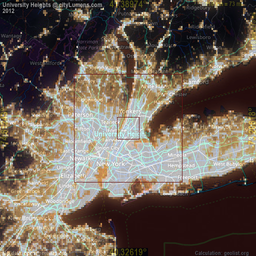
» Earth at Night: Flat Maps 2012, 2016