Warrenton night lights from space
Night Light of Warrenton (Oregon) from space (United States) Src. Average luminocity for 10x10km area is 6.9702% and for 50x50km: 1.009%.
Analysis of Warrenton night lights 2016
Square area 10x10 km:
 0%
0%90-99
0.28%80-89
1.99%70-79
1.14%60-69
0.57%50-59
0.57%40-49
2.13%30-39
0.99%20-29
2.27%10-19
1.56%0-9
88.49%Square area 50x50 km:
0%90-99
0.08%80-89
0.21%70-79
0.08%60-69
0.2%50-59
0.25%40-49
0.24%30-39
0.18%20-29
0.26%10-19
0.09%0-9
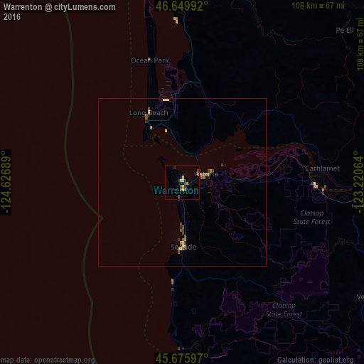
98.4%Clear (daylight) street map image can be seen on geolist.org.
Map coordinates:
46° 38' 59.7" North, 124° 37' 36.8" West
46° 9' 54.4" North, 123° 55' 25.5" West
45° 40' 33.5" North, 123° 13' 14.3" West
Some cities around Warrenton sort by population:
• Longview
76 km =47.2 mi,  92°
92°
• Aberdeen
90.5 km =56.2 mi,  5°
5°
• Kelso
78.2 km =48.6 mi, 91°
• Astoria
7.6 km =4.7 mi,  70°
70°
• Hoquiam
90.7 km =56.4 mi,  1°
1°
• Seaside
19.1 km =11.9 mi,  179°
179°
• Ocean Shores
91.6 km =56.9 mi,  348°
348°
• West Side Highway
77.5 km =48.2 mi, 88°
5759289 (p: 5,282)
Sources (retrieved 2019-11-25):
» Earth at Night: Flat Maps 2012, 2016