Aberdeen night lights from space
Night Light of Aberdeen (Washington) from space (United States) Src. Average luminocity for 10x10km area is 23.9616% and for 50x50km: 1.4659%.
Analysis of Aberdeen night lights 2016
Square area 10x10 km:
 3.84%
3.84%90-99
5.26%80-89
2.27%70-79
4.26%60-69
2.41%50-59
1.14%40-49
1.56%30-39
0.71%20-29
2.27%10-19
29.69%0-9
46.59%Square area 50x50 km:
0.18%90-99
0.23%80-89
0.12%70-79
0.3%60-69
0.19%50-59
0.13%40-49
0.1%30-39
0.13%20-29
0.23%10-19
1.3%0-9
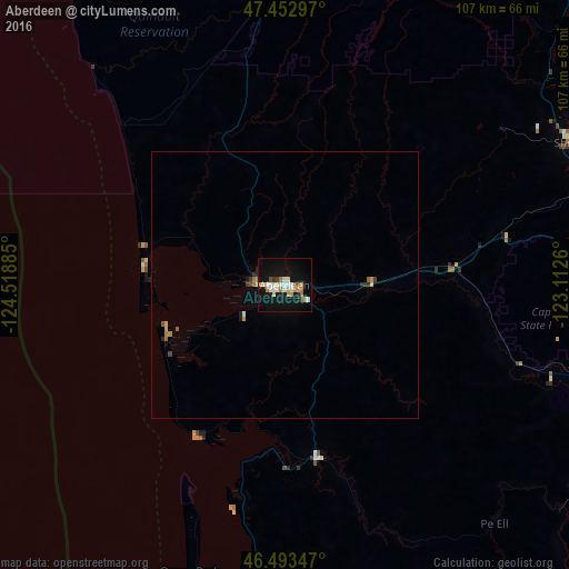
97.09%Clear (daylight) street map image can be seen on geolist.org.
Map coordinates:
47° 27' 10.7" North, 124° 31' 7.9" West
46° 58' 31.3" North, 123° 48' 56.6" West
46° 29' 36.5" North, 123° 6' 45.4" West
Some cities around Aberdeen sort by population:
• Olympia
69.7 km =43.3 mi,  84°
84°
• Lacey
75.5 km =46.9 mi,  85°
85°
• Tumwater
68.8 km =42.8 mi, 87°
• Centralia
71.6 km =44.5 mi,  113°
113°
• Shelton
60.3 km =37.5 mi,  63°
63°
• Hoquiam
5.6 km =3.5 mi,  276°
276°
• Chehalis
73.6 km =45.7 mi,  118°
118°
• Ocean Shores
25.8 km =16 mi,  269°
269°
5785243 (p: 16,276)
Sources (retrieved 2019-11-25):
» Earth at Night: Flat Maps 2012, 2016